Escuela Gullermina Rosado De Ayala
Escuela Gullermina Rosado De Ayala is a school in Río Grande, Eastern Coast. Escuela Gullermina Rosado De Ayala is situated nearby to the park Parque Villas de Loíza, as well as near the cemetery Cementerio Nuevo Municipal de Río Grande.| Tap on a place to explore it |
Places of Interest Nearby
Highlights include Villarán Bridge and The Outlet 66 Mall.
Villarán Bridge
Bridge

Photo: WSnell8, CC BY-SA 3.0.
The Villarán Bridge, also known as the Canóvanas Bridge, is a historic bridge over the Canóvanas River in Canóvanas, Puerto Rico. Built in 1892 on the highway between Río Piedras and Río Grande, its iron superstructure was imported from Europe and set on masonry abutments. Villarán Bridge is situated 2½ km west of Escuela Gullermina Rosado De Ayala.
The Outlet 66 Mall
Commercial area
The Outlet 66 Mall, originally known as the Belz Factory Outlet World and subsequently as The Outlet at Route 66, is an enclosed shopping mall in Canóvanas, Puerto Rico. The Outlet 66 Mall is situated 2 km southwest of Escuela Gullermina Rosado De Ayala.
Places in the Area
Nearby places include Canóvanas and Loíza.
Canóvanas

Photo: Mtmelendez, CC BY-SA 3.0.
Canóvanas is a municipality of Puerto Rico and eastern suburb of San Juan located on the island's northeast coast close to El Yunque. The town is famous for its racehorse course, its historical agriculture and the legend of the Chupacabras.
Loíza
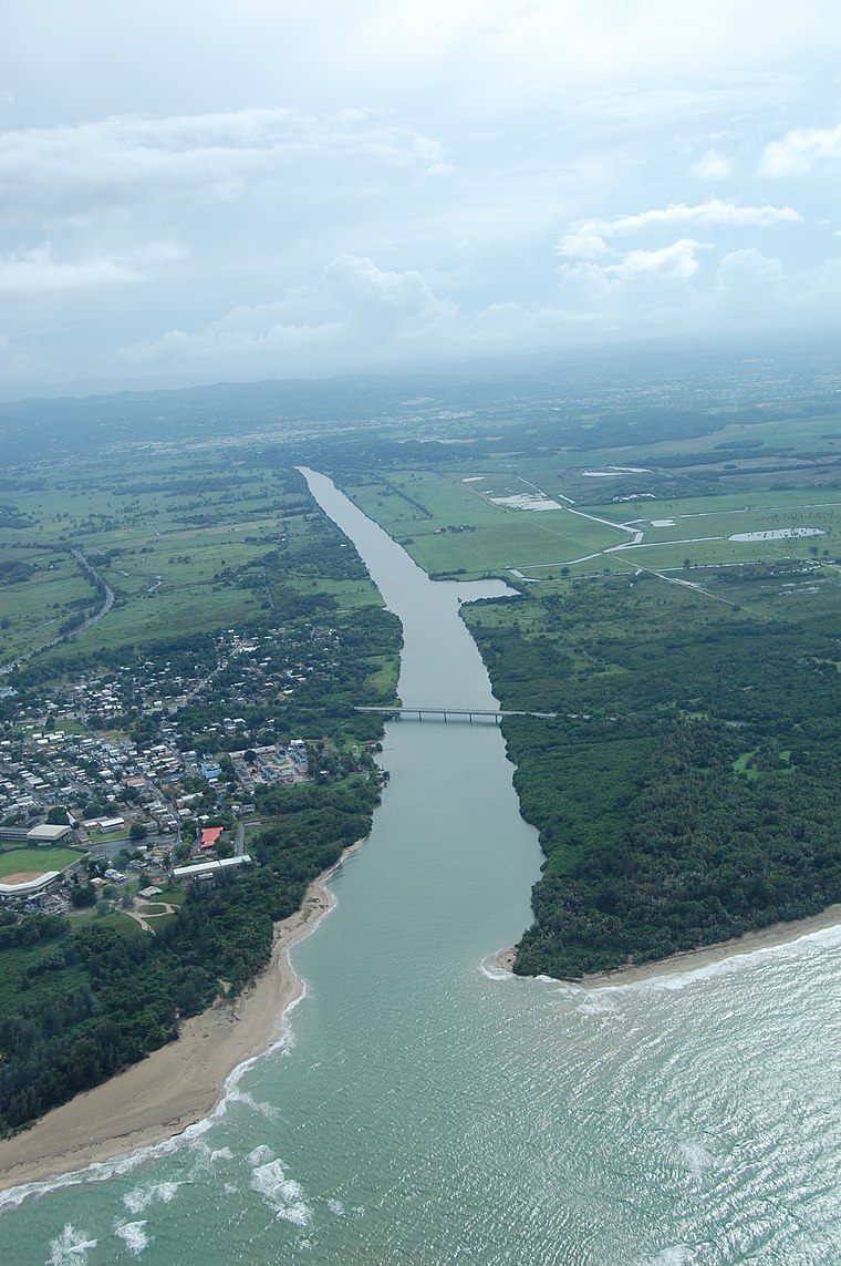
Photo: David Sanchez, CC BY 2.0.
Loíza is a municipality of 30,000 people in the Eastern Coast region of Puerto Rico. There are 19 beaches in Loíza.
Buena Vista
Neighborhood
Buena Vista is a barrio in the municipality of Carolina, Puerto Rico. Its population in 2010 was 29,303. Buena Vista is situated 9 km west of Escuela Gullermina Rosado De Ayala.
Escuela Gullermina Rosado De Ayala
- Type: School
- Postal code: 00772
- Category: education
- Location: Río Grande, Eastern Coast, Puerto Rico, Caribbean, North America
- View on OpenStreetMap
Latitude
18.38393° or 18° 23′ 2″ northLongitude
-65.8683° or 65° 52′ 6″ westOperator
Departamento de EducaciónOpen location code
77CP94MJ+HMOpenStreetMap ID
node 4306468741OpenStreetMap feature
amenity=school
This page is based on OpenStreetMap, Wikidata, and Wikimedia Commons.
We’d love your help improving our open data sources. Thank you for contributing.
Satellite Map
Discover Escuela Gullermina Rosado De Ayala from above in high-definition satellite imagery.
Notable Places Nearby
Highlights include Parque Villas de Loíza and Cementerio Nuevo Municipal de Río Grande.
Nearby Places
Explore places such as Bargain City and Vita Natura.
Eastern Coast: Must-Visit Destinations
Delve into Yabucoa, Ceiba, Fajardo, and Humacao.
Curious Places to Discover
Uncover intriguing places from every corner of the globe.
About Mapcarta. Data © OpenStreetMap contributors and available under the Open Database License". Text is available under the CC BY-SA 4.0 license, except for photos, directions, and the map. Photo: Wikimedia, CC0.