Centro de Información turística
Centro de Información turística is in Municipio B, Montevideo Department, and is located on Piedras. Centro de Información turística is situated nearby to the apartment building Jaureguiberry Building, as well as near La Proa Building.| Tap on a place to explore it |
- Opening hours: 9:00 AM—5:00 PM
- Type: Information
- Address: 252 Piedras
Places of Interest Nearby
Highlights include Mercado del Puerto and Carnival Museum.
Mercado del Puerto
Food court

Photo: Pedro Felipe, CC BY-SA 4.0.
The Mercado del Puerto is a gastronomic and cultural venue in the Ciudad Vieja neighborhood of Montevideo, Uruguay. Originally built as a covered marketplace, it no longer functions as one and now houses restaurants serving traditional Uruguayan cuisine, with a focus on asado cooked over open-fire parrillas.
Carnival Museum
Museum

Photo: Fedaro, CC BY-SA 3.0.
The Carnival Museum is located at 25 De Mayo Street in the "Ciudad Vieja" in Montevideo, Uruguay. It was built in November 2006. The museum has galleries on Candombe, Carnival, Uruguayan Carnival and Murga.
Museum of Pre-Columbian and Indigenous Art
Museum

Photo: Museo MAPI, CC BY-SA 4.0.
The Museum of Pre-Columbian and Indigenous Art is an ethnographic museum located in Ciudad Vieja, Montevideo, Uruguay, dedicated to the indigenous cultures of different parts of Latin America. Museum of Pre-Columbian and Indigenous Art is situated 180 metres southeast of Centro de Información turística.
Places in the Area
Nearby places include Ciudad Vieja and Barrio Sur.
Ciudad Vieja
Suburb
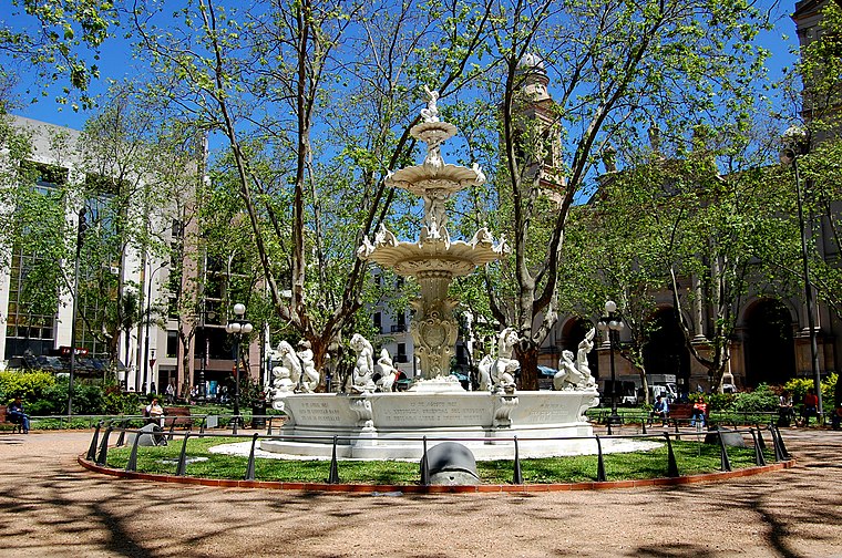
Photo: Eduardo Ruggieri, CC BY-SA 3.0.
Ciudad Vieja is a barrio of Montevideo, Uruguay. Located in a peninsula at the mouth of the Bay of Montevideo, it is the city's historic district. It was founded in 1724 as a walled city by the Spanish Empire.
Barrio Sur
Suburb
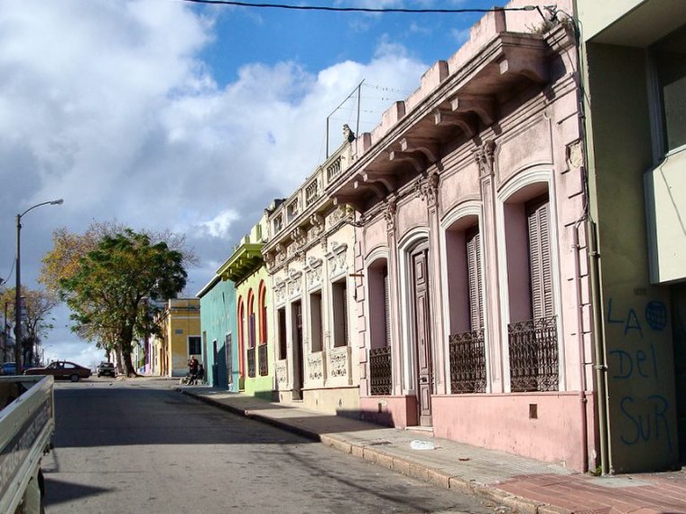 Barrio Sur is a barrio of Montevideo, Uruguay. It borders Ciudad Vieja to the west, the central business district to the north, Palermo to the east and the coastline to the south.
Montevideo

Photo: Ypsilon from Finland, CC0.
Montevideo is the capital city of Uruguay, on the east bank of the Rio de la Plata. Though sometimes overlooked beside nearby Buenos Aires, Montevideo is the cultural and political center of the country.
Centro de Información turística
- Category: tourism
- Location: Municipio B, Montevideo Department, Uruguay, South America
- View on OpenStreetMap
Latitude
-34.90581° or 34° 54′ 21″ southLongitude
-56.21114° or 56° 12′ 40″ westOpen location code
48Q53QVQ+MGOpenStreetMap ID
node 4310282495OpenStreetMap feature
tourism=information
This page is based on OpenStreetMap, Wikidata, and Wikimedia Commons.
We’d love your help improving our open data sources. Thank you for contributing.
Satellite Map
Discover Centro de Información turística from above in high-definition satellite imagery.
Places with the Same Name
Discover other places named “Centro de Información turística”.
Notable Places Nearby
Highlights include Jaureguiberry Building and La Proa Building.
Nearby Places
Explore places such as El peregrino and Sinestesia.
Uruguay: Must-Visit Destinations
Delve into Montevideo, Salto, Colonia, and Punta del Este.
Curious Places to Discover
Uncover intriguing places from every corner of the globe.
About Mapcarta. Data © OpenStreetMap contributors and available under the Open Database License". Text is available under the CC BY-SA 4.0 license, except for photos, directions, and the map. Photo: Elemaki, CC BY 3.0.