Matignon
Matignon is a bus stop in Marnes-la-Coquette, Arrondissement of Boulogne-Billancourt, Île-de-France. Matignon is situated nearby to the building Villa Hefferlin, as well as near the cemetery Cimetière de Ville d’Avray.| Tap on a place to explore it |
Photo: FR, CC BY-SA 3.0.
Places of Interest Nearby
Highlights include Town hall of Marnes-la-Coquette and Église Sainte-Eugénie de Marnes-la-Coquette.
Town hall of Marnes-la-Coquette
Town hall

Photo: Thor19, CC BY-SA 3.0.
Town hall of Marnes-la-Coquette is situated 320 metres northwest of Matignon.
Église Sainte-Eugénie de Marnes-la-Coquette
Church
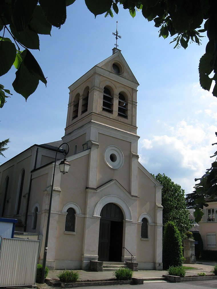
Photo: Thor19, CC BY-SA 3.0.
Église Sainte-Eugénie de Marnes-la-Coquette is a church, which is situated 300 metres northwest of Matignon.
Cimetière de Ville d’Avray
Cemetery

Photo: Gaylussac8937, CC BY-SA 4.0.
Cimetière de Ville d’Avray is a cemetery, which is situated 260 metres west of Matignon.
Places in the Area
Nearby places include Marnes-la-Coquette and Ville-d’Avray.
Marnes-la-Coquette
Village
Photo: Thor19, CC BY-SA 3.0.
Marnes-la-Coquette is a commune in the western suburbs of Paris, France. Located 13.1 km from the centre of Paris, the town is situated in the Hauts-de-Seine department on the departmental border with Yvelines between the Parc de Saint-Cloud and the Forest of Fausses-Reposes.
Ville-d’Avray
Town
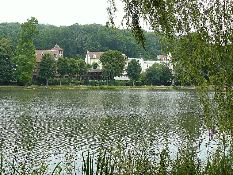
Photo: Wikimedia, Public domain.
Ville-d'Avray is a commune in the western suburbs of Paris, France. It is located 11.9 km from the centre of Paris. The commune is part of the arrondissement of Boulogne-Billancourt in the Hauts-de-Seine department.
Garches
Town

Photo: Benjism89, CC BY-SA 3.0.
Garches is a commune in the Hauts-de-Seine department, in the western suburbs of Paris, France. It is located 11.9 km from the centre of Paris. Garches has remained largely residential, with a population of 17,898 as of 2021, but is also the location of Raymond Poincaré University Hospital, which specialises in traumatology, road accidents and physiotherapy.
Matignon
- Type: Bus stop
- Wheelchair access: yes
- Category: transportation
- Location: Marnes-la-Coquette, Arrondissement of Boulogne-Billancourt, Hauts-de-Seine, Île-de-France, France, Europe
- View on OpenStreetMap
Latitude
48.82772° or 48° 49′ 40″ northLongitude
2.17973° or 2° 10′ 47″ eastOpen location code
8FW4R5HH+3VOpenStreetMap ID
node 4331137121OpenStreetMap feature
highway=bus_stopOpenStreetMap feature
public_transport=platformOpenStreetMap attribute
wheelchair=yesWikidata ID
Q56869541
This page is based on OpenStreetMap, Wikidata, and Wikimedia Commons.
We’d love your help improving our open data sources. Thank you for contributing.
Satellite Map
Discover Matignon from above in high-definition satellite imagery.
In Other Languages
“Matignon” goes by many names.
- French: “arrêt Matignon”
- French: “Arrêt Matignon”
- French: “Matignon”
Places with the Same Name
Discover other places named “Matignon”.
Notable Places Nearby
Highlights include Villa Hefferlin and Cimetière de Ville-d’Avray.
Nearby Places
Explore places such as Villa de l’APA and Le Mesnil d’Avray.
Île-de-France: Must-Visit Destinations
Delve into Paris, Versailles, Boulogne-Billancourt, and Paris Charles de Gaulle Airport.
Curious Bus Stops to Discover
Uncover intriguing bus stops from every corner of the globe.
About Mapcarta. Data © OpenStreetMap contributors and available under the Open Database License". Text is available under the CC BY-SA 4.0 license, except for photos, directions, and the map. Photo: FR, CC BY-SA 3.0.