The Gold Lion
The Gold Lion is a fast food restaurant in South Tyneside, England which is located on Dean Road. The Gold Lion is situated nearby to Chichester Christian Spiritualist Church, as well as near the church The Salvation Army.| Tap on a place to explore it |
- Type: Fast food restaurant
- Cuisine: Chinese
- Address: 97 Dean Road, South Shields, NE33 4AY
Places of Interest Nearby
Highlights include Chichester and St Jude’s Church Rekendyke.
Chichester
Railway station

Photo: Mankind 2k, CC BY 2.5.
Chichester is a station on the Tyne and Wear Metro serving the Chichester, Laygate, Westoe and West Park areas of South Tyneside, as well as the nearby South Tyneside College campus. Chichester is situated 700 feet west of The Gold Lion.
St Jude’s Church Rekendyke
Church

Photo: Bill Henderson, CC BY-SA 2.0.
St Jude’s Church Rekendyke is situated 1,400 feet west of The Gold Lion.
South Tyneside College
College

Photo: Terry Whalebone, CC BY 2.0.
South Tyneside College is a large further education college in South Tyneside in North East England. Its main site is in the town of South Shields. The college offers part-time and full-time courses for young students and adults. South Tyneside College is situated 2,400 feet east of The Gold Lion.
Places in the Area
Nearby places include Westoe and Harton.
Westoe
Suburb
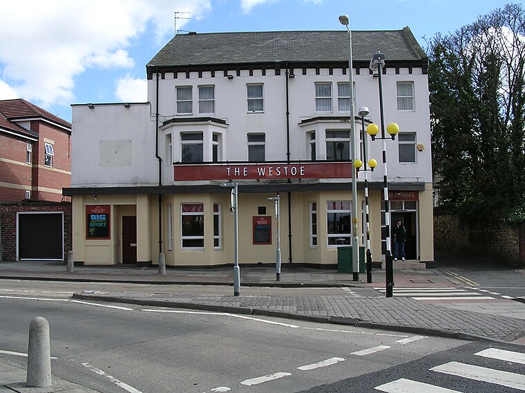
Photo: Terry Whalebone, CC BY 2.0.
Westoe was originally a village near South Shields, in the South Tyneside district, in Tyne and Wear, England, but has since become part of the town and is now used to refer to the area of the town where the village once was.
Harton
Suburb

Photo: Roger Cornfoot, CC BY-SA 2.0.
Harton is a suburban area of South Shields, South Tyneside, Tyne and Wear, England. It was historically a village, however as the urban area grew it merged with its adjacent villages to become part of the town.
The Gold Lion
- Categories: food and restaurant
- Location: South Tyneside, England, United Kingdom, Britain and Ireland, Europe
- View on OpenStreetMap
Latitude
54.98634° or 54° 59′ 11″ northLongitude
-1.42877° or 1° 25′ 44″ westOpen location code
9C6WXHPC+GFOpenStreetMap ID
node 4342705551OpenStreetMap feature
amenity=fast_foodOpenStreetMap attribute
cuisine=chinese
This page is based on OpenStreetMap, Wikidata, and Wikimedia Commons.
We’d love your help improving our open data sources. Thank you for contributing.
Satellite Map
Discover The Gold Lion from above in high-definition satellite imagery.
Notable Places Nearby
Highlights include The Salvation Army and Chichester Christian Spiritualist Church.
Nearby Places
Explore places such as Dean Road and Techniserve.
England: Must-Visit Destinations
Delve into London, Manchester, Sheffield, and Leeds.
Curious Fast Food Restaurants to Discover
Uncover intriguing fast food restaurants from every corner of the globe.
About Mapcarta. Data © OpenStreetMap contributors and available under the Open Database License". Text is available under the CC BY-SA 4.0 license, except for photos, directions, and the map. Photo: AlasdairW, CC BY-SA 3.0.