Villiers - Neauphle - Pontchartrain
Villiers - Neauphle - Pontchartrain is a railway stop in Villiers-Saint-Frédéric, Arrondissement of Rambouillet, Île-de-France. Villiers - Neauphle - Pontchartrain is situated nearby to the pitch Gymnase, as well as near Stade Jean-Charles Robillard.| Tap on a place to explore it |
Places of Interest Nearby
Highlights include Gare de Villiers - Neauphle - Pontchartrain and Église Saint-Frédéric de Villiers-Saint-Frédéric.
Gare de Villiers - Neauphle - Pontchartrain
Railway station

Photo: Parisdreux, CC BY-SA 3.0.
Gare de Villiers - Neauphle - Pontchartrain is a railway station.
Église Saint-Frédéric de Villiers-Saint-Frédéric
Church

Photo: Henrysalome, CC BY-SA 3.0.
Église Saint-Frédéric de Villiers-Saint-Frédéric is a church, which is situated 1¼ km east of Villiers - Neauphle - Pontchartrain.
Église Saint-Nicolas de Neauphle-le-Château
Church

Photo: Peter17, CC BY-SA 4.0.
Église Saint-Nicolas de Neauphle-le-Château is a church, which is situated 1½ km east of Villiers - Neauphle - Pontchartrain.
Places in the Area
Nearby places include Neauphle-le-Château and Jouars-Pontchartrain.
Neauphle-le-Château
Village
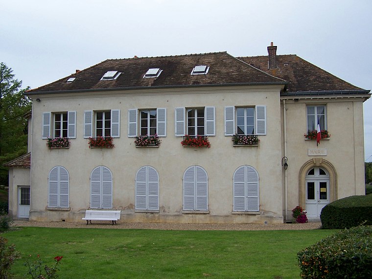
Photo: Henrysalome, CC BY-SA 3.0.
Neauphle-le-Château is a commune in the Yvelines department in the Île-de-France region in north-central France.
Jouars-Pontchartrain
Village

Photo: Henrysalome, CC BY-SA 3.0.
Jouars-Pontchartrain is a commune in the Yvelines department in the Île-de-France region in north-central France. It is approximately 35 kilometres from Paris. This city is famous for the Château de Pontchartrain.
Beynes
Village

Photo: Wikimedia, CC BY-SA 3.0.
Beynes is a commune in the Yvelines department in north-central France. Beynes is situated 4½ km north of Villiers - Neauphle - Pontchartrain.
Villiers - Neauphle - Pontchartrain
- Type: Railway stop
- Categories: transport stop and transportation
- Location: Villiers-Saint-Frédéric, Arrondissement of Rambouillet, Yvelines, Île-de-France, France, Europe
- View on OpenStreetMap
Latitude
48.81534° or 48° 48′ 55″ northLongitude
1.87748° or 1° 52′ 39″ eastOperator
SNCF Gares & ConnexionsNetwork
Ligne NOpen location code
8FW3RV8G+4XOpenStreetMap ID
node 4386009846OpenStreetMap feature
public_transport=stop_positionOpenStreetMap feature
railway=stop
This page is based on OpenStreetMap, Wikidata, and Wikimedia Commons.
We’d love your help improving our open data sources. Thank you for contributing.
Satellite Map
Discover Villiers - Neauphle - Pontchartrain from above in high-definition satellite imagery.
Places with the Same Name
Discover other places named “Villiers - Neauphle - Pontchartrain”.
Notable Places Nearby
Highlights include Gare de Villiers - Neauphle - Pontchartrain and Gymnase.
Nearby Places
Explore places such as Villiers - Neauphle - Pontchartrain and Villiers-Neauphle-Pontchartrain Railway Station.
Île-de-France: Must-Visit Destinations
Delve into Paris, Versailles, Boulogne-Billancourt, and Paris Charles de Gaulle Airport.
Curious Railway Stops to Discover
Uncover intriguing railway stops from every corner of the globe.
About Mapcarta. Data © OpenStreetMap contributors and available under the Open Database License". Text is available under the CC BY-SA 4.0 license, except for photos, directions, and the map. Photo: Inkey, CC BY-SA 3.0.