Lenneberg Turm
Lenneberg Turm is a scenic viewpoint in Budenheim, Mainz-Bingen, Rhineland-Palatinate. Lenneberg Turm is situated nearby to Lenneberg tower, as well as near the reservoir Wasserbehälter Gonsenheim.| Tap on a place to explore it |
Places of Interest Nearby
Highlights include Lenneberg tower and Wendelinuskapellen von Budenheim.

Wendelinuskapellen von Budenheim
Church

Photo: SteFre, CC BY-SA 3.0.
Wendelinuskapellen von Budenheim is a church, which is situated 730 metres east of Lenneberg Turm.
Wildpark Mainz-Gonsenheim
Zoo

Photo: SteFre, CC BY-SA 3.0 de.
Wildpark Mainz-Gonsenheim is a zoo, which is situated 1½ km east of Lenneberg Turm.
Places in the Area
Nearby places include Gonsenheim and Uhlerborn.
Gonsenheim
Suburb

Photo: Martin Bahmann, CC BY-SA 3.0.
Gonsenheim is a borough in the northwest corner of Mainz, Germany. With about 25,000 inhabitants, it is the second-most populated borough of Mainz, before Oberstadt and after Neustadt. Gonsenheim is situated 2½ km east of Lenneberg Turm.
Uhlerborn
Village
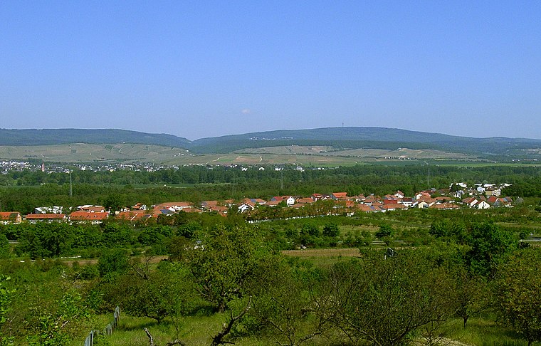
Photo: Uhlerborner, Public domain.
Uhlerborn is a village, which is situated 3 km west of Lenneberg Turm.
Mombach
Suburb
Mombach, with 13,927 inhabitants, is a borough in the northwest corner of Mainz, Germany. Mombach can be reached via Mainz-innenstadt or Bundesautobahn 643. Mombach is situated 3½ km east of Lenneberg Turm.
Lenneberg Turm
- Type: Scenic viewpoint
- Category: tourism
- Location: Budenheim, Mainz-Bingen, Rhineland-Palatinate, Germany, Central Europe, Europe
- View on OpenStreetMap
Latitude
50.01004° or 50° 0′ 36″ northLongitude
8.18053° or 8° 10′ 50″ eastOpen location code
9F2C256J+26OpenStreetMap ID
node 4391952092OpenStreetMap feature
tourism=viewpoint
This page is based on OpenStreetMap, Wikidata, and Wikimedia Commons.
We’d love your help improving our open data sources. Thank you for contributing.
Satellite Map
Discover Lenneberg Turm from above in high-definition satellite imagery.
Places with the Same Name
Discover other places named “Lenneberg Turm”.
Notable Places Nearby
Highlights include Lenneberg and Wasserbehälter Gonsenheim.
Nearby Places
Explore places such as Café & Restaurant Am Turm and Budenheim/Schloß Waldthausen.
Rhineland-Palatinate: Must-Visit Destinations
Delve into Mainz, Trier, Koblenz, and Worms.
Curious Scenic Viewpoints to Discover
Uncover intriguing scenic viewpoints from every corner of the globe.
About Mapcarta. Data © OpenStreetMap contributors and available under the Open Database License". Text is available under the CC BY-SA 4.0 license, except for photos, directions, and the map. Photo: Traveler100, CC BY-SA 3.0.