Phone Systems
Phone Systems is an electronics store in Padua, Padova, Veneto. Phone Systems is situated nearby to Piazzetta Cesira Gasparotto, as well as near the community center Spazio STRIA.| Tap on a place to explore it |
Places of Interest Nearby
Highlights include Scrovegni Chapel and Padova Railway Station.
Scrovegni Chapel
Museum

Photo: Piroddi.andrea, CC BY-SA 3.0.
The Scrovegni Chapel, also known as the Arena Chapel, is a small church, adjacent to the Augustinian monastery, the Monastero degli Eremitani in Padua, region of Veneto, Italy. Scrovegni Chapel is situated 250 metres south of Phone Systems.
Padova Railway Station
Railway station

Photo: Chris Light, CC BY-SA 4.0.
Padova railway station, or Padua railway station, sometimes referred to as Padova Centrale, is the main station serving the city and comune of Padua, in the Veneto region, northeastern Italy. Padova Railway Station is situated 420 metres north of Phone Systems.
Torrione dell’Arena

Photo: Piergiovanna, CC BY-SA 4.0.
Torrione dell’Arena is situated 120 metres southeast of Phone Systems.
Places in the Area
Nearby places include Arcella and Terranegra.
Arcella
Suburb
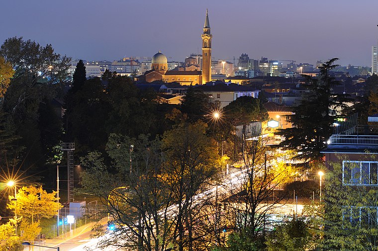
Photo: mauro.puppett photography, CC BY 2.0.
Arcella is the name of a district in Padua, located close to the Milan-Venice railway, north-east of Padua's central station. However, urban expansion taking place since the 1950s, made the boundaries between the localities nearby imperceptible.
Terranegra
Suburb

Photo: Threecharlie, CC BY-SA 3.0.
Terranegra is a suburb, which is situated 3 km southeast of Phone Systems.
Guizza
Suburb

Photo: Cataboghi, CC BY-SA 4.0.
Guizza is a suburb, which is situated 3½ km south of Phone Systems.
Phone Systems
- Type: Electronics store
- Category: shop
- Location: Padua, Padova, Veneto, Northeast Italy, Italy, Europe
- View on OpenStreetMap
Latitude
45.41406° or 45° 24′ 51″ northLongitude
11.87904° or 11° 52′ 45″ eastOpen location code
8FQHCV7H+JJOpenStreetMap ID
node 4430393490OpenStreetMap feature
shop=electronics
This page is based on OpenStreetMap, Wikidata, and Wikimedia Commons.
We’d love your help improving our open data sources. Thank you for contributing.
Satellite Map
Discover Phone Systems from above in high-definition satellite imagery.
Notable Places Nearby
Highlights include Piazzetta Cesira Gasparotto and Spazio STRIA.
Nearby Places
Explore places such as Phone Systems and Mediatech.
Veneto: Must-Visit Destinations
Delve into Venice, Verona, Vicenza, and Treviso.
Curious Electronics Stores to Discover
Uncover intriguing electronics stores from every corner of the globe.
About Mapcarta. Data © OpenStreetMap contributors and available under the Open Database License". Text is available under the CC BY-SA 4.0 license, except for photos, directions, and the map. Photo: Wikimedia, CC0.