Campo la Pastora
Campo la Pastora is a locality in Cardeñajimeno, Burgos, Castile and León. Campo la Pastora is situated nearby to the locality El Monte, as well as near La Rasa.| Tap on a place to explore it |
Places of Interest
Highlights include Burgos Villafria Airport and Coliseum Burgos.
Burgos Villafria Airport
Aerodrome
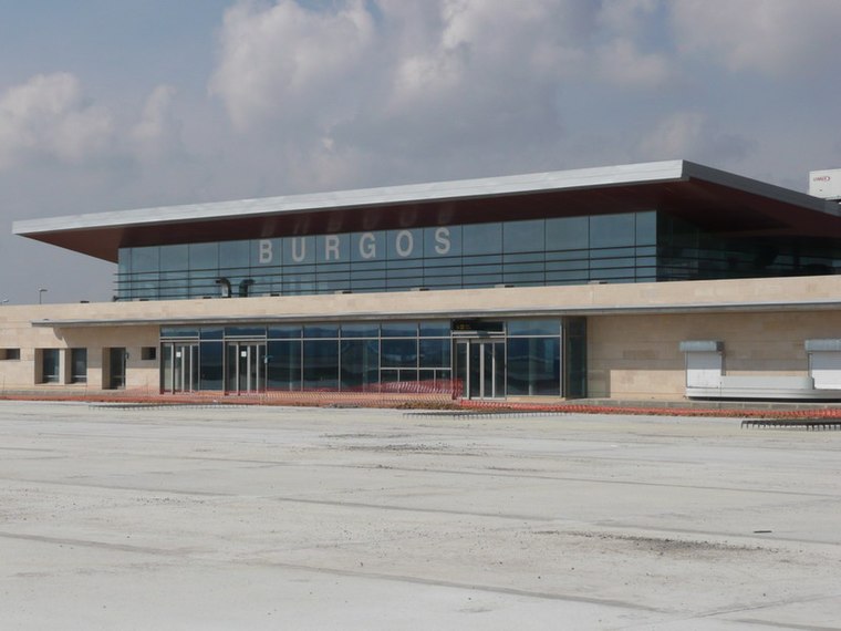
Photo: Forjamus, Public domain.
Burgos Airport, also known as Villafría, is an airport located 4 kilometres east of the historic center of Burgos, a city in Spain. The company Aeronova has its maintenance headquarters in Villafría. Burgos Villafria Airport is situated 3½ km northeast of Campo la Pastora.
Coliseum Burgos
Stadium

Photo: Asturkian, CC BY-SA 4.0.
The Coliseum Burgos, formerly named as Plaza de Toros de Burgos, is an indoor arena mainly used as bullring located in Burgos, Spain. It is a Spanish bullring originally opened in 1967 and remodelled in 2015 to serve as a multi-purpose arena. Coliseum Burgos is situated 4 km northwest of Campo la Pastora.
Iglesia del Salvador
Church

Photo: Ams1001, CC BY-SA 4.0.
Iglesia del Salvador is a church, which is situated 3 km northwest of Campo la Pastora.
Places in the Area
Nearby places include Cardeñajimeno and Villayuda.
Cardeñajimeno
Village
 Cardeñajimeno is a municipality located in the province of Burgos, Castile and León, Spain. According to the 2004 census, the municipality has a population of 612 inhabitants.


Campo la Pastora
- Type: Locality
- Location: Cardeñajimeno, Burgos, Castile and León, Central Spain, Spain, Iberia, Europe
- View on OpenStreetMap
Latitude
42.32968° or 42° 19′ 47″ northLongitude
-3.63551° or 3° 38′ 8″ westOpen location code
8CJR89H7+VQOpenStreetMap ID
node 4497676980OpenStreetMap feature
place=locality
This page is based on OpenStreetMap, Wikidata, and Wikimedia Commons.
We’d love your help improving our open data sources. Thank you for contributing.
Satellite Map
Discover Campo la Pastora from above in high-definition satellite imagery.
Localities in the Area
Explore places such as El Monte and La Rasa.
Notable Places Nearby
Highlights include Ladera de San Juan and Fuente Dorada.
Castile and León: Must-Visit Destinations
Delve into Valladolid, Salamanca, Segovia, and León.
Curious Localities to Discover
Uncover intriguing localities from every corner of the globe.
About Mapcarta. Data © OpenStreetMap contributors and available under the Open Database License". Text is available under the CC BY-SA 4.0 license, except for photos, directions, and the map. Photo: Choniron, CC BY-SA 3.0 es.