Kobold-Pub
Kobold-Pub is a pub in Wedel, Pinneberg, Schleswig-Holstein. Kobold-Pub is situated nearby to the health club Fitness First, as well as near the community center Hirtenhaus.| Tap on a place to explore it |
Places of Interest Nearby
Highlights include Wedel station and Theaterschiff Batavia.
Wedel station
Railway station

Photo: Rmw73, CC BY-SA 3.0.
Wedel station is a railway station on the Altona-Blankenese line, served by the rapid transit trains of the Hamburg S-Bahn, located in Wedel, Germany. It is a terminus of the line S1. Wedel station is situated 540 metres north of Kobold-Pub.
Theaterschiff Batavia
Theater building
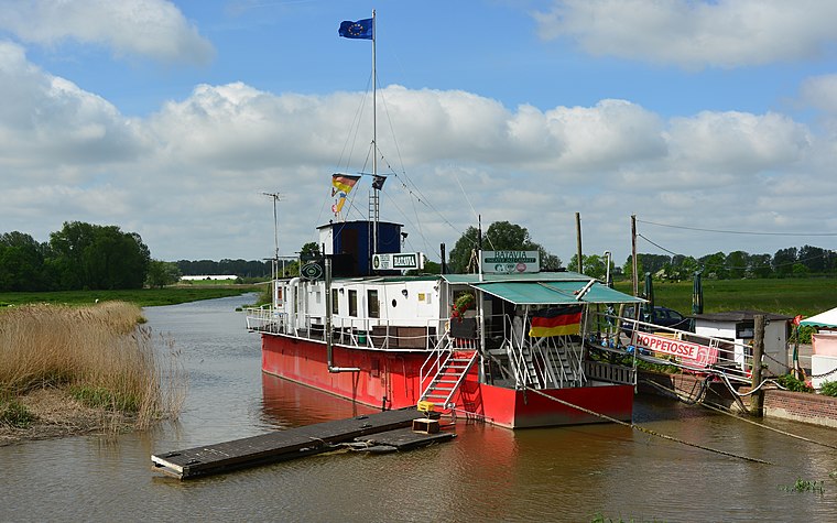 Theaterschiff Batavia is a theater building, which is situated 1 km northwest of Kobold-Pub.
Friedrich-Ebert-Gedenkstein
Memorial

Photo: flamenc, CC BY-SA 3.0.
Friedrich-Ebert-Gedenkstein is a memorial, which is situated 410 metres north of Kobold-Pub.
Places in the Area
Nearby places include Rissen and Borstel.
Rissen
Suburb

Photo: Rmw73, CC BY-SA 3.0.
Rissen is a quarter of the city of Hamburg in Germany. It is located in the borough of Altona and is the westernmost quarter of Hamburg, bordering the German federal state of Schleswig-Holstein in the west, north, and northeast and the Elbe river to the south. Rissen is situated 3½ km east of Kobold-Pub.
Borstel
Village

Photo: Tiefflieger, CC BY-SA 2.5.
Borstel is a village, which is situated 4½ km south of Kobold-Pub.
Jork
Village

Photo: Nikater, CC BY-SA 3.0.
Jork is a municipality in the district of Stade, in Lower Saxony, in northern Germany, situated on the left bank of the Elbe, near Hamburg. The town is the capital of the Altes Land, one of the biggest fruit growing areas in Europe, and is home to Jork Fruit Research Station. Jork is situated 5 km south of Kobold-Pub.
Kobold-Pub
- Type: Pub
- Location: Wedel, Pinneberg, South Holstein, Schleswig-Holstein, Germany, Central Europe, Europe
- View on OpenStreetMap
Latitude
53.57726° or 53° 34′ 38″ northLongitude
9.70556° or 9° 42′ 20″ eastOpen location code
9F5FHPG4+W6OpenStreetMap ID
node 4513882189OpenStreetMap feature
amenity=pub
This page is based on OpenStreetMap, Wikidata, and Wikimedia Commons.
We’d love your help improving our open data sources. Thank you for contributing.
Satellite Map
Discover Kobold-Pub from above in high-definition satellite imagery.
Notable Places Nearby
Highlights include Fitness First and Hirtenhaus.
Nearby Places
Explore places such as Putzbüdel and Dr. med. Constance Thies.
South Holstein: Must-Visit Destinations
Delve into Neumünster, Itzehoe, Glückstadt, and Bad Segeberg.
Curious Pubs to Discover
Uncover intriguing pubs from every corner of the globe.
About Mapcarta. Data © OpenStreetMap contributors and available under the Open Database License". Text is available under the CC BY-SA 4.0 license, except for photos, directions, and the map. Photo: HP-WEDEL, CC BY-SA 4.0.