Turó de les Puces
Turó de les Puces is a peak in Vilalba Sasserra, Barcelona, Catalonia and has an elevation of 361 metres. Turó de les Puces is situated nearby to the locality la Patrup-patrup, as well as near Bosc de Can Pau Rector.| Tap on a place to explore it |
Places of Interest
Highlights include Dolmen de Ca l’Arenes and Poblat ibèric del Far.
Dolmen de Ca l’Arenes
Archaeological site

Photo: Alex Esp, CC BY-SA 3.0.
Dolmen de Ca l’Arenes is an archaeological site.
Poblat ibèric del Far
Archaeological site

Photo: Clemens Schmillen, CC BY-SA 4.0.
Poblat ibèric del Far is an archaeological site.
Dolmen de Pedrarca
Archaeological site

Photo: Clemens Schmillen, CC BY-SA 4.0.
Dolmen de Pedrarca is an archaeological site.
Places in the Area
Nearby places include Llinars del Vallès and Sant Antoni de Vilamajor.
Llinars del Vallès
Village
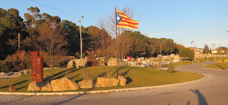
Photo: Oriol20, CC BY-SA 3.0.
Llinars del Vallès is a village and a municipality in the comarca of Vallès Oriental, in the province of Barcelona and autonomous community of Catalonia, Spain.
Sant Antoni de Vilamajor
Village

Photo: amadalvarez, CC BY-SA 2.5.
Sant Antoni de Vilamajor is a village in the comarca of Vallès Oriental in the province of Barcelona and autonomous community of Catalonia, Spain. The municipality covers an area of 13.7 square kilometres and the population in 2014 was 5,708.
Dosrius
Village

Photo: 1997, Public domain.
Dosrius is a municipality in the comarca of Maresme in Catalonia, Spain, located in the interior of the comarca on the border with the Eastern Valleys, and is at the head of the Argentona Riera.
Turó de les Puces
- Type: Peak with an elevation of 361 metres
- Category: landform
- Location: Vilalba Sasserra, Barcelona, Catalonia, Eastern Spain, Spain, Iberia, Europe
- View on OpenStreetMap
Latitude
41.6383° or 41° 38′ 18″ northLongitude
2.4389° or 2° 26′ 20″ eastElevation
361 metres (1,184 feet)Open location code
8FH4JCQQ+8HOpenStreetMap ID
node 4523557314OpenStreetMap feature
natural=peak
This page is based on OpenStreetMap, Wikidata, and Wikimedia Commons.
We’d love your help improving our open data sources. Thank you for contributing.
Satellite Map
Discover Turó de les Puces from above in high-definition satellite imagery.
In Other Languages
“Turó de les Puces” goes by many names.
- Catalan: “Turó de les Puces”
Localities in the Area
Explore places such as la Patrup-patrup and Bosc de Can Pau Rector.
Notable Places Nearby
Highlights include Can Patuel and Can Pascol.
Barcelona: Must-Visit Destinations
Delve into Barcelona, Malgrat de Mar, Terrassa, and Badalona.
Curious Peaks to Discover
Uncover intriguing peaks from every corner of the globe.
About Mapcarta. Data © OpenStreetMap contributors and available under the Open Database License". Text is available under the CC BY-SA 4.0 license, except for photos, directions, and the map. Photo: Alex Micheu Photography, CC BY-SA 3.0.