Woolwich Bell Tower
Woolwich Bell Tower is a monument in Lyneham and Bradenstoke, Wiltshire, England. Woolwich Bell Tower is situated nearby to Lyneham Memorial Garden, as well as near the playground REME Museum Assault Course.| Tap on a place to explore it |
Places of Interest Nearby
Highlights include Church of St Michael and All Angels and Church of St Giles.
Church of St Michael and All Angels
Church

Photo: Eirian Evans, CC BY-SA 2.0.
Church of St Michael and All Angels is situated 1,100 feet northeast of Woolwich Bell Tower.
Church of St Giles
Church

Photo: Roger Cornfoot, CC BY-SA 2.0.
Church of St Giles is situated 1¼ miles northeast of Woolwich Bell Tower.
Church of St Mary the Virgin
Church
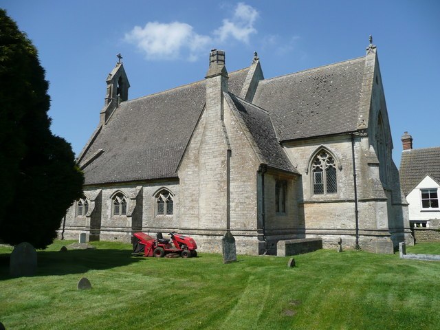
Photo: Jonathan Billinger, CC BY-SA 2.0.
Church of St Mary the Virgin is situated 1½ miles northwest of Woolwich Bell Tower.
Places in the Area
Nearby places include Lyneham and New Zealand.
Lyneham
Village

Photo: Brian Robert Marshall, CC BY-SA 2.0.
Lyneham is a large village in north Wiltshire, England, within the civil parish of Lyneham and Bradenstoke, and situated 4 miles southwest of Royal Wootton Bassett, 5.5 miles north of Calne and 11 miles southwest of Swindon.
New Zealand
Hamlet
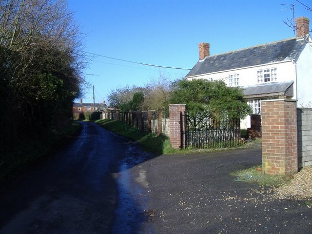
Photo: Roger Cornfoot, CC BY-SA 2.0.
New Zealand is a hamlet in the civil parish of Hilmarton in Wiltshire, England. Nearby villages are Goatacre, Hilmarton and Lyneham; the nearest town is Calne, approximately 4 miles to the southwest.
Goatacre
Hamlet
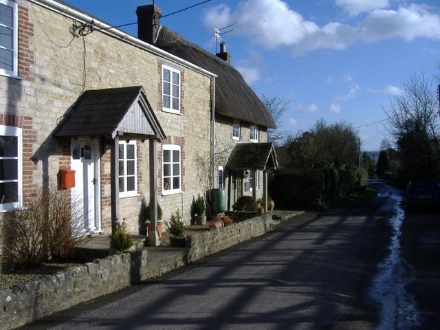
Photo: Roger Cornfoot, CC BY-SA 2.0.
Goatacre is a village in the English county of Wiltshire, about 4 miles north of Calne and 1 mile south of Lyneham on the A3102 road. It is in the parish of Hilmarton and the closest major town is Swindon, some 12 miles to the northeast.
Woolwich Bell Tower
- Type: Monument
- Category: historic site
- Location: Lyneham and Bradenstoke, Wiltshire, West Country, England, United Kingdom, Britain and Ireland, Europe
- View on OpenStreetMap
Latitude
51.50469° or 51° 30′ 17″ northLongitude
-1.96903° or 1° 58′ 9″ westOpen location code
9C3WG23J+V9OpenStreetMap ID
node 4533841826OpenStreetMap feature
historic=monument
This page is based on OpenStreetMap, Wikidata, and Wikimedia Commons.
We’d love your help improving our open data sources. Thank you for contributing.
Satellite Map
Discover Woolwich Bell Tower from above in high-definition satellite imagery.
Notable Places Nearby
Highlights include Lyneham Memorial Garden and REME Museum Assault Course.
Nearby Places
Explore places such as Crowns Cafe and Westland Lynx.
Wiltshire: Must-Visit Destinations
Delve into Stonehenge, Salisbury, Warminster, and Swindon.
Curious Monuments to Discover
Uncover intriguing monuments from every corner of the globe.
About Mapcarta. Data © OpenStreetMap contributors and available under the Open Database License". Text is available under the CC BY-SA 4.0 license, except for photos, directions, and the map. Photo: herry, CC BY 2.0.