Malbergsingel
Malbergsingel is a bus stop in Maastricht, South Limburg, Limburg. Malbergsingel is situated nearby to the playground Speelterrein Grimbeertstraat II, as well as near the church Vier Evangelisten.| Tap on a place to explore it |
Places of Interest Nearby
Highlights include Du Moulin Line and Sint-Lambertuskerk.
Du Moulin Line
Fortification

Photo: China Crisis, CC BY 3.0.
Du Moulin Line is a fortification, which is situated 1½ km southeast of Malbergsingel.
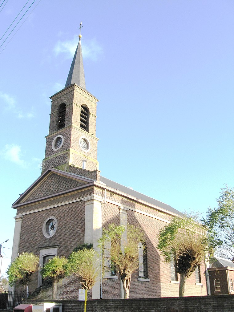
Sint-Lambertuskerk
Church

Photo: Wikimedia, CC BY-SA 3.0.
The Sint-Lambertuskerk is a former church in the city of Maastricht, Limburg, Netherlands. At the time of its completion in 1916, St. Lambert's was the first church in Maastricht outside the medieval city wall. Sint-Lambertuskerk is situated 1½ km southeast of Malbergsingel.
Nieuwe Bossche Fronten
Fortification

Photo: Kleon3, CC BY-SA 4.0.
Nieuwe Bossche Fronten is a fortification, which is situated 2 km east of Malbergsingel.
Places in the Area
Nearby places include Lanakerveld and Veldwezelt.

Boschpoort
Neighborhood
Boschpoort is a neighbourhood of Maastricht in the Dutch province of Limburg. The suburb is situated in the North Western area of the town, on the West bank of the river Meuse. The Dörp as it is colloquially known is home to approximately 1500 people.
Malbergsingel
- Type: Bus stop
- Category: transportation
- Location: Maastricht, South Limburg, Limburg, Southern Netherlands, Netherlands, Benelux, Europe
- View on OpenStreetMap
Latitude
50.86039° or 50° 51′ 37″ northLongitude
5.65903° or 5° 39′ 33″ eastOpen location code
9F27VM65+5JOpenStreetMap ID
node 4567240449OpenStreetMap feature
highway=bus_stopOpenStreetMap feature
public_transport=platform
This page is based on OpenStreetMap, Wikidata, and Wikimedia Commons.
We’d love your help improving our open data sources. Thank you for contributing.
Satellite Map
Discover Malbergsingel from above in high-definition satellite imagery.
Notable Places Nearby
Highlights include Speelterrein Grimbeertstraat II and Speelterrein Grimbeertstraat I.
Nearby Places
Explore places such as Malbergsingel and Lukoil.
South Limburg: Must-Visit Destinations
Delve into Heerlen, Kerkrade, Valkenburg aan de Geul, and Vaals.
Curious Bus Stops to Discover
Uncover intriguing bus stops from every corner of the globe.
About Mapcarta. Data © OpenStreetMap contributors and available under the Open Database License". Text is available under the CC BY-SA 4.0 license, except for photos, directions, and the map. Photo: Bodoklecksel, CC BY-SA 3.0.