Club L’As de Pique
Club L’As de Pique is a bar in Rosny-sous-Bois, Arrondissement of Le Raincy, Île-de-France. Club L’As de Pique is situated nearby to Rosny-Sous-Bois Communal Cemetery, as well as near Place de Metz.| Tap on a place to explore it |
Places of Interest Nearby
Highlights include Rosny-Sous-Bois Communal Cemetery and Westfield Rosny 2.
Rosny-Sous-Bois Communal Cemetery
Cemetery

Photo: Chabe01, CC BY-SA 4.0.
Rosny-Sous-Bois Communal Cemetery is situated 150 metres east of Club L’As de Pique.
Westfield Rosny 2
Shopping center

Photo: Chabe01, CC BY-SA 4.0.
Westfield Rosny 2 is a shopping center, which is situated 420 metres northeast of Club L’As de Pique.
Coteaux Beauclair station
Metro station

Photo: Chabe01, CC BY-SA 4.0.
Coteaux Beauclair station is a station on Line 11 of the Paris Métro. The station is situated in the communes of Rosny-sous-Bois and Noisy-le-Sec. It is the line's first and only station that is elevated and is located on a 580-metre-long viaduct. Coteaux Beauclair station is situated 590 metres northwest of Club L’As de Pique.
Places in the Area
Nearby places include Rosny-sous-Bois and Noisy-le-Sec.
Rosny-sous-Bois
Town

Photo: Chabe01, CC BY-SA 4.0.
Rosny-sous-Bois is a commune in the eastern suburbs of Paris, France. It is located 10.1 km from the centre of Paris. It is the seat of the national centre of road information of the national gendarmerie.
Noisy-le-Sec
Town
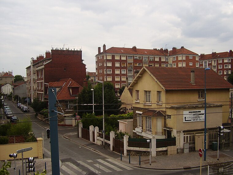
Photo: Sticreu, CC BY-SA 3.0.
Noisy-le-Sec is a commune in the eastern suburbs of Paris, France. It is located 8.6 km from the center of Paris.
Villemomble
Town

Photo: Mairie de Villemomble, CC BY-SA 3.0.
Villemomble is a commune in the eastern suburbs of Paris, France. It is located 12.1 km from the centre of Paris.
Club L’As de Pique
- Type: Bar
- Location: Rosny-sous-Bois, Arrondissement of Le Raincy, Seine-Saint-Denis, Île-de-France, France, Europe
- View on OpenStreetMap
Latitude
48.87999° or 48° 52′ 48″ northLongitude
2.47468° or 2° 28′ 29″ eastOpen location code
8FW4VFHF+XVOpenStreetMap ID
node 4568639197OpenStreetMap feature
amenity=bar
This page is based on OpenStreetMap, Wikidata, and Wikimedia Commons.
We’d love your help improving our open data sources. Thank you for contributing.
Satellite Map
Discover Club L’As de Pique from above in high-definition satellite imagery.
Notable Places Nearby
Highlights include Place de Metz and Nanteuil ZI - Jules Ferry, Rosny-sous-Bois.
Nearby Places
Explore places such as Rexel and Kiloutou.
Île-de-France: Must-Visit Destinations
Delve into Paris, Versailles, Boulogne-Billancourt, and Paris Charles de Gaulle Airport.
Curious Bars to Discover
Uncover intriguing bars from every corner of the globe.
About Mapcarta. Data © OpenStreetMap contributors and available under the Open Database License". Text is available under the CC BY-SA 4.0 license, except for photos, directions, and the map. Photo: Romain D C, CC BY-SA 3.0.