Oulad
Oulad is a supermarket in Bergen op Zoom, North Brabant. Oulad is situated nearby to Korenbeursplein, as well as near the church de Ark.| Tap on a place to explore it |
Places of Interest Nearby
Highlights include Bergen op Zoom railway station and Ravelijn Op den Zoom.
Bergen op Zoom railway station
Railway station

Photo: Sneeuwvlakte, CC BY-SA 4.0.
Bergen op Zoom is a railway station located in Bergen op Zoom, Netherlands. The station was opened on 23 December 1863 and is located on the Roosendaal–Vlissingen railway. The services are operated by Nederlandse Spoorwegen. Bergen op Zoom railway station is situated 380 metres southeast of Oulad.
Ravelijn Op den Zoom
Grassland

Photo: Wikimedia, Public domain.
Ravelijn Op den Zoom is a grassland, which is situated 270 metres north of Oulad.
Synagoge
Synagogue
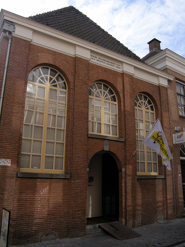
Photo: China Crisis, CC BY 3.0.
Synagoge is a synagogue, which is situated 240 metres south of Oulad.
Places in the Area
Nearby places include Halsteren and Heerle.
Halsteren
Village

Photo: John Scholte, CC BY-SA 3.0 nl.
Halsteren is a town in the Dutch province of North Brabant. It is located in the municipality of Bergen op Zoom, about 1 km north of that city. Halsteren has an old church from the 14th century and a new church, built in 1919. Halsteren is situated 3 km northwest of Oulad.
Heerle
Village
Heerle is a village in the municipality of Roosendaal, in the Dutch province of North Brabant. Before the municipal reorganisation of 1997, Heerle was part of the municipality of Wouw. It lies between the cities of Bergen op Zoom and Roosendaal. Heerle is situated 6 km northeast of Oulad.
Lepelstraat
Village
Lepelstraat is a Dutch village six kilometres north of the city of Bergen op Zoom, and part of the municipality with that name. Its earliest records of history date back to 1298 where in a manuscript of landrights it was mentioned as "Den Leepel Straet." Lepelstraat has always been important in its region's religious history. Lepelstraat is situated 6 km north of Oulad.
Oulad
- Type: Supermarket
- Categories: shop and food
- Location: Bergen op Zoom, North Brabant, Southern Netherlands, Netherlands, Benelux, Europe
- View on OpenStreetMap
Latitude
51.49617° or 51° 29′ 46″ northLongitude
4.29115° or 4° 17′ 28″ eastOpen location code
9F36F7WR+FFOpenStreetMap ID
node 4595493602OpenStreetMap feature
shop=supermarket
This page is based on OpenStreetMap, Wikidata, and Wikimedia Commons.
We’d love your help improving our open data sources. Thank you for contributing.
Satellite Map
Discover Oulad from above in high-definition satellite imagery.
Places with the Same Name
Discover other places named “Oulad”.
Notable Places Nearby
Highlights include Korenbeursplein and de Ark.
Nearby Places
Explore places such as Harput and Zaden.
North Brabant: Must-Visit Destinations
Delve into Eindhoven, ’s-Hertogenbosch, Breda, and Tilburg.
Curious Supermarkets to Discover
Uncover intriguing supermarkets from every corner of the globe.
About Mapcarta. Data © OpenStreetMap contributors and available under the Open Database License". Text is available under the CC BY-SA 4.0 license, except for photos, directions, and the map. Photo: Michiel1972, CC BY-SA 3.0.