Amro Market
Amro Market is a convenience store in California, United States. Amro Market is situated nearby to the stadium Galileo Gymnaseum, as well as near the pitch George White Field.| Tap on a place to explore it |
Places of Interest Nearby
Highlights include Lombard Street and Ghirardelli Square.
Lombard Street

Photo: Y6y6y6, Public domain.
Lombard Street is an east–west street in San Francisco, California, that is famous for a steep, one-block section with eight hairpin turns. The street stretches from The Presidio east to The Embarcadero. Lombard Street is situated 1,800 feet east of Amro Market.
Ghirardelli Square
 Ghirardelli Square is a landmark public square at the foot of Russian Hill and adjacent to the Aquatic Park Historic District in San Francisco. It is often considered to be part of the tourist attractions at nearby Fisherman's Wharf. Ghirardelli Square is situated 1,400 feet northeast of Amro Market.
Fort Mason
Park

Photo: Brylie, CC BY-SA 3.0.
Fort Mason, in San Francisco, California is a former United States Army post located in the northern Marina District, alongside San Francisco Bay. Fort Mason served as an Army post for more than 100 years, initially as a coastal defense site and subsequently as a military port facility. Fort Mason is situated 1,800 feet northwest of Amro Market.
Places in the Area
Nearby places include Russian Hill and Nob Hill-Russian Hill.
Russian Hill
Neighborhood
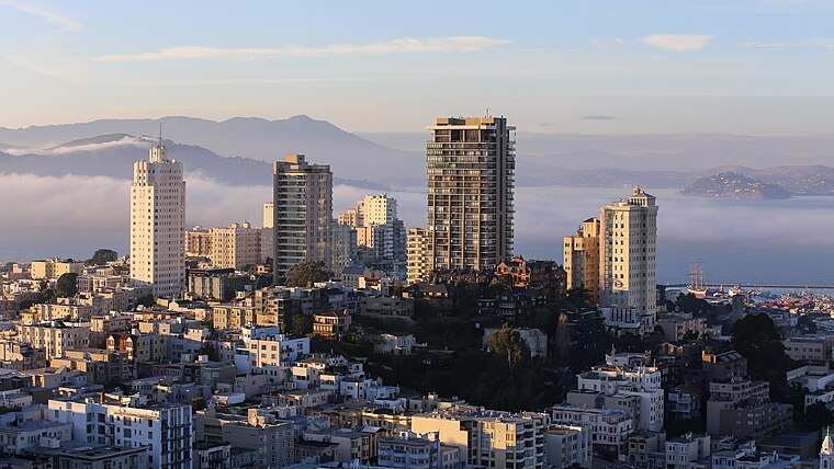
Photo: BDS2006, CC BY-SA 4.0.
Russian Hill is a neighborhood of San Francisco, California. It is named after one of San Francisco's 44 hills, and one of its original "Seven Hills".
Nob Hill-Russian Hill

Photo: Antoinetav, CC BY-SA 3.0.
Atop the hills overlooking the bay and bustling downtown San Francisco are two adjacent neighborhoods famed for their wealth, panoramic views, and the historic cable cars which still climb the steep streets of the area.
Fisherman’s Wharf

Photo: Miskatonic, CC BY-SA 3.0.
San Francisco's most popular destination among travelers, Fisherman's Wharf is the tourist center of the city. Its historic waterfront, once the hub of the city's fishing fleet, is still famous for the depth and variety of its harvest and for having some of the best seafood restaurants in the city, with scenic vistas over San Francisco Bay and Alcatraz Island.
Amro Market
- Type: Convenience store
- Categories: shop and food
- Location: California, United States, North America
- View on OpenStreetMap
Latitude
37.80237° or 37° 48′ 9″ northLongitude
-122.42503° or 122° 25′ 30″ westOpen location code
849VRH2F+WXOpenStreetMap ID
node 4613888429OpenStreetMap feature
shop=convenience
This page is based on OpenStreetMap, Wikidata, and Wikimedia Commons.
We’d love your help improving our open data sources. Thank you for contributing.
Satellite Map
Discover Amro Market from above in high-definition satellite imagery.
Places with the Same Name
Discover other places named “Amro Market”.
Notable Places Nearby
Highlights include Galileo Gymnaseum and George White Field.
Nearby Places
Explore places such as Chestnut Street & Van Ness Avenue and Van Ness Avenue & Chestnut Street.
California: Must-Visit Destinations
Delve into San Francisco, Los Angeles, San Diego, and Sacramento.
Curious Convenience Stores to Discover
Uncover intriguing convenience stores from every corner of the globe.
About Mapcarta. Data © OpenStreetMap contributors and available under the Open Database License". Text is available under the CC BY-SA 4.0 license, except for photos, directions, and the map. Photo: Wikimedia, CC BY-SA 2.0.