Barnet Everyman Cinema
Barnet Everyman Cinema is a bus stop in Barnet, Greater London, England. Barnet Everyman Cinema is situated nearby to the government office Barnet Driving Test Centre, as well as near Barnet Fire Station.| Tap on a place to explore it |
Places of Interest Nearby
Highlights include Barnet Fire Station and Highlands Gardens.
Barnet Fire Station
Fire station

Photo: Philafrenzy, CC BY-SA 4.0.
Barnet Fire Station is located in Station Road, New Barnet, London. It was opened in 1993. A previous station in nearby Leicester Road closed in 1992 and was demolished in 2005. Barnet Fire Station is situated 440 feet north of Barnet Everyman Cinema.
Highlands Gardens
Park
Highlands Gardens is a small park in New Barnet at the western end of Leicester Road, on the corner with Abbotts Road. The park was opened in 1931 in the grounds of Highlands House which was demolished in about 1972 and replaced by flats. Highlands Gardens is situated 830 feet north of Barnet Everyman Cinema.
Greenhill Gardens
Park

Photo: Dudley Miles, Public domain.
Greenhill Gardens is a 1.6 hectare public park in New Barnet in the London Borough of Barnet. Its main feature is an ornamental lake with a wooded island, which attracts many birds, and it also has a grassed area with scattered mature trees. Greenhill Gardens is situated 1,100 feet southeast of Barnet Everyman Cinema.
Places in the Area
Nearby places include New Barnet and Barnet.
New Barnet
Suburb
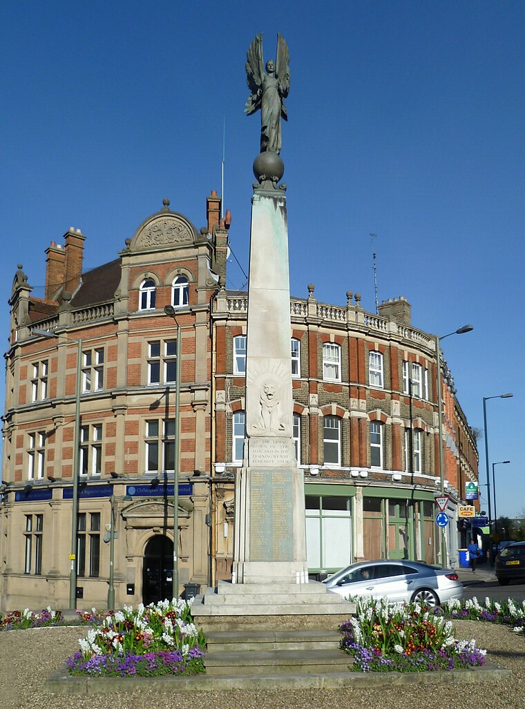
Photo: Philafrenzy, CC BY-SA 4.0.
New Barnet is a neighbourhood on the north east side of the London Borough of Barnet. It is a largely residential North London suburb located east of Chipping Barnet, west of Cockfosters, south of the village of Monken Hadley and north of Oakleigh Park.
Barnet
Town

Photo: MykReeve, CC BY-SA 3.0.
Chipping Barnet or High Barnet is a suburban market town in north London, forming part of the London Borough of Barnet, England. It is a suburban development built around a 12th-century settlement, and is located 10+1⁄2 miles north of Charing Cross, 3 miles east from Borehamwood, 5.2 miles west from Enfield and 3.2 miles south from Potters Bar.
Oakleigh Park
Quarter

Photo: Martin Addison, CC BY-SA 2.0.
Oakleigh Park is a loosely defined district in the north of the London Borough of Barnet. It adjoins Whetstone, and is often regarded as part of either that district or of East Barnet, although the East Coast Main Line forms a border with the latter.
Barnet Everyman Cinema
- Type: Bus stop
- Category: transportation
- Location: Barnet, Greater London, England, United Kingdom, Britain and Ireland, Europe
- View on OpenStreetMap
Latitude
51.64611° or 51° 38′ 46″ northLongitude
-0.18671° or 0° 11′ 12″ westOperator
Transport for LondonOpen location code
9C3XJRW7+C8OpenStreetMap ID
node 469763810OpenStreetMap feature
highway=bus_stopOpenStreetMap feature
public_transport=platform
This page is based on OpenStreetMap, Wikidata, and Wikimedia Commons.
We’d love your help improving our open data sources. Thank you for contributing.
Satellite Map
Discover Barnet Everyman Cinema from above in high-definition satellite imagery.
Notable Places Nearby
Highlights include Barnet Everyman Cinema and Barnet Driving Test Centre.
Nearby Places
Explore places such as Mountfield Pharmacy and John’s Cycles.
England: Must-Visit Destinations
Delve into London, Manchester, Sheffield, and Leeds.
Curious Bus Stops to Discover
Uncover intriguing bus stops from every corner of the globe.
About Mapcarta. Data © OpenStreetMap contributors and available under the Open Database License". Text is available under the CC BY-SA 4.0 license, except for photos, directions, and the map. Photo: sidibousaid, CC BY 2.0.