Mead Way / Pickhurst Park
Mead Way / Pickhurst Park is a bus stop in Bromley, Greater London, England. Mead Way / Pickhurst Park is situated nearby to the forest Cupola Wood, as well as near the post office Stanleys Convenience Store.| Tap on a place to explore it |
Places of Interest Nearby
Highlights include Hayes (Kent) Railway Station and Bromley South railway station.
Hayes (Kent) Railway Station
Railway station

Photo: Sunil060902, CC BY-SA 3.0.
Hayes railway station serves the suburban area of Hayes, in the London Borough of Bromley, south east London, England. It lies 14 miles 32 chains from London Charing Cross. Hayes (Kent) Railway Station is situated 1 mile south of Mead Way / Pickhurst Park.
Bromley South railway station
Railway station

Photo: Sunil060902, CC BY-SA 3.0.
Bromley South railway station is on the Chatham Main Line, serving the town centre and high street of Bromley, south-east London, England. It is 10 miles 71 chains down the line from London Victoria and is situated between Shortlands and Bickley. Bromley South railway station is situated 1 mile northeast of Mead Way / Pickhurst Park.
West Wickham railway station
Railway station

Photo: Sunil060902, CC BY-SA 3.0.
West Wickham railway station serves the area of West Wickham, in the London Borough of Bromley, south-east London, England. It is a stop on the Hayes line, 13 miles 19 chains down the line from London Charing Cross and in Travelcard Zone 5. West Wickham railway station is situated 1 mile southwest of Mead Way / Pickhurst Park.
Places in the Area
Nearby places include Hayes and Bromley.
Hayes
Suburb
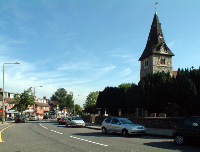
Photo: Philip Talmage, CC BY-SA 2.0.
Hayes is a suburban area of southeast London, England and part of the London Borough of Bromley. It is located 11 miles south-east of Charing Cross, to the north of Keston and Coney Hall, west of Bromley Common, south of Bromley town centre, and east of West Wickham.
Bromley
Town

Photo: Stacey Harris, CC BY-SA 2.0.
Bromley is a large town in Greater London, England, within the London Borough of Bromley. It is 9+1⁄2 miles southeast of Charing Cross, and had an estimated population of 88,000 as of 2023.
West Wickham
Suburb
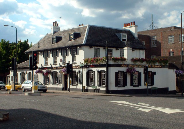
Photo: Philip Talmage, CC BY-SA 2.0.
West Wickham is an area of South East London, England, in the London Borough of Bromley. It lies south of Park Langley, Eden Park, Beckenham and Bromley town centre, west of Hayes and north of Coney Hall, east of Spring Park and Shirley.
Mead Way / Pickhurst Park
- Type: Bus stop
- Category: transportation
- Location: Bromley, Greater London, England, United Kingdom, Britain and Ireland, Europe
- View on OpenStreetMap
Latitude
51.38853° or 51° 23′ 19″ northLongitude
0.00374° or 0° 0′ 14″ eastOperator
TfLNetwork
London BusesOpen location code
9F3292Q3+CFOpenStreetMap ID
node 469774799OpenStreetMap feature
highway=bus_stopOpenStreetMap feature
public_transport=platform
This page is based on OpenStreetMap, Wikidata, and Wikimedia Commons.
We’d love your help improving our open data sources. Thank you for contributing.
Satellite Map
Discover Mead Way / Pickhurst Park from above in high-definition satellite imagery.
Notable Places Nearby
Highlights include Cupola Wood and Stanleys Convenience Store.
Nearby Places
Explore places such as Mead Way and Pickhurst Park.
England: Must-Visit Destinations
Delve into London, Manchester, Sheffield, and Leeds.
Curious Bus Stops to Discover
Uncover intriguing bus stops from every corner of the globe.
About Mapcarta. Data © OpenStreetMap contributors and available under the Open Database License". Text is available under the CC BY-SA 4.0 license, except for photos, directions, and the map. Photo: Mario modesto, CC BY-SA 3.0.