Glendun Road
Glendun Road is a bus stop in Ealing, Greater London, England. Glendun Road is situated nearby to East Acton Primary School, as well as near the pitch Club des Sports.| Tap on a place to explore it |
Places of Interest Nearby
Highlights include Acton Central railway station and Loftus Road.
Acton Central railway station
Railway station

Photo: Sunil060902, CC BY-SA 3.0.
Acton Central is a station on the Mildmay line of the London Overground, situated between South Acton and Willesden Junction stations in London fare zone 3. Acton Central railway station is situated 2,500 feet southwest of Glendun Road.
Loftus Road
Stadium

Photo: Randy110912, CC BY-SA 4.0.
Loftus Road, currently known as MATRADE Loftus Road Stadium for sponsorship reasons, is a football stadium in Shepherd's Bush, West London, Greater London, England, which is home to Queens Park Rangers Football Club, with a capacity of 18,439. Loftus Road is situated 1 mile east of Glendun Road.
Saint Dunstans Church
Church

Photo: Rod Allday, CC BY-SA 2.0.
Saint Dunstans Church is situated 1,100 feet west of Glendun Road.
Places in the Area
Nearby places include Hammersmith and Fulham and Acton.
Hammersmith and Fulham

Photo: Chmee2, CC BY-SA 3.0.
Hammersmith & Fulham is a borough in west London, and boasts 3 Premiership football teams within its boundaries.
Acton
Town
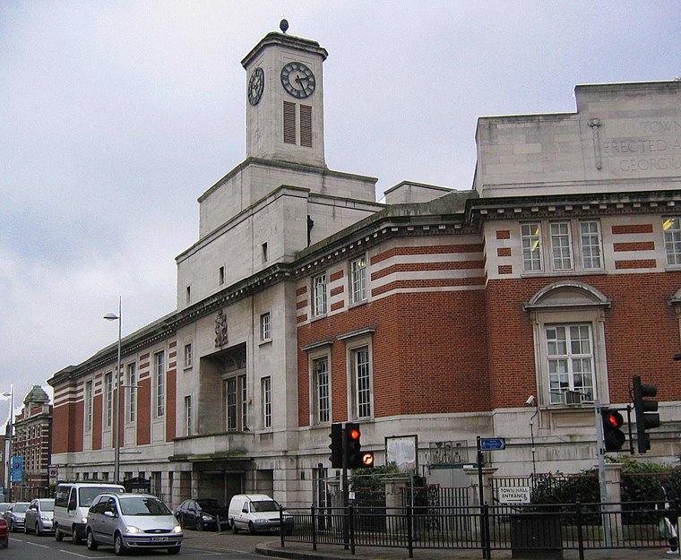
Photo: Patche99z, Public domain.
Acton is a town in West London, England, within the London Borough of Ealing. It is 6.1 miles west of Charing Cross. At the 2011 census, its four wards, East Acton, Acton Central, South Acton and Southfield, had a population of 62,480, a ten-year increase of 8,791 people. North Acton, West Acton, East Acton, South Acton, Acton Green, Acton Town, Acton Vale and Acton Central are all parts of Acton.
White City
Neighborhood

Photo: Wikimedia, CC BY-SA 3.0.
White City is a district of London, England, in the northern part of Shepherd's Bush in the London Borough of Hammersmith and Fulham, 5 miles west-northwest of Charing Cross.
Glendun Road
- Type: Bus stop
- Category: transportation
- Location: Ealing, Greater London, England, United Kingdom, Britain and Ireland, Europe
- View on OpenStreetMap
Latitude
51.51243° or 51° 30′ 45″ northLongitude
-0.25356° or 0° 15′ 13″ westOpen location code
9C3XGP6W+XHOpenStreetMap ID
node 469781263OpenStreetMap feature
highway=bus_stopOpenStreetMap feature
public_transport=platform
This page is based on OpenStreetMap, Wikidata, and Wikimedia Commons.
We’d love your help improving our open data sources. Thank you for contributing.
Satellite Map
Discover Glendun Road from above in high-definition satellite imagery.
Places with the Same Name
Discover other places named “Glendun Road”.
Notable Places Nearby
Highlights include East Acton Primary School and Club des Sports.
Nearby Places
Explore places such as Beechwood Grove and King Fahad Academy.
England: Must-Visit Destinations
Delve into London, Manchester, Sheffield, and Leeds.
Curious Bus Stops to Discover
Uncover intriguing bus stops from every corner of the globe.
About Mapcarta. Data © OpenStreetMap contributors and available under the Open Database License". Text is available under the CC BY-SA 4.0 license, except for photos, directions, and the map. Photo: sidibousaid, CC BY 2.0.