Hail & Ride Thornhill Road
Hail & Ride Thornhill Road is a bus stop in Hillingdon, Greater London, England. Hail & Ride Thornhill Road is situated nearby to Swakeleys Park, as well as near Vyners School.| Tap on a place to explore it |
Places of Interest Nearby
Highlights include Vyners School and Hillingdon tube station.
Vyners School
School
Vyners School is a secondary school and sixth form in Ickenham within the London Borough of Hillingdon. Since November 2011 the school has had an academy status. The headteacher is Gary Mullings. Vyners School is situated 1,100 feet west of Hail & Ride Thornhill Road.
Hillingdon tube station
Metro station
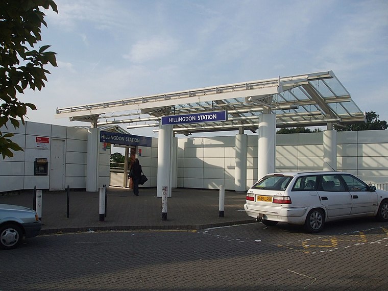
Photo: Sunil060902, CC BY-SA 3.0.
Hillingdon is a London Underground station in North Hillingdon in the London Borough of Hillingdon, West London. It is on the Uxbridge branches of both the Metropolitan and Piccadilly lines, between Uxbridge and Ickenham stations. Hillingdon tube station is situated 2,800 feet southeast of Hail & Ride Thornhill Road.
Ickenham tube station
Metro station
 Ickenham is a London Underground station, located in Ickenham in the London Borough of Hillingdon. It is on the Uxbridge branches of both the Metropolitan and Piccadilly lines, between Hillingdon and Ruislip stations. It is in London fare zone 6. Ickenham tube station is situated 3,600 feet east of Hail & Ride Thornhill Road.
Places in the Area
Nearby places include Ickenham and Newyears Green.
Ickenham
Suburb

Photo: Nigel Cox, CC BY-SA 2.0.
Ickenham is an area in Greater London, forming the northern part of Uxbridge and within the London Borough of Hillingdon. While no major historical events have taken place in Ickenham, settlements dating back to the Roman occupation of Britain have been discovered during archaeological surveys, and the area appears in the Domesday Book.
Newyears Green
Hamlet
Newyears Green is a hamlet of the London Borough of Hillingdon in London, England. It lies 16.6 miles northwest of Charing Cross. It is situated south of Harefield, west of Ruislip and north of Ickenham, in Greater London.
Uxbridge
Town

Photo: Nigel Cox, CC BY-SA 2.0.
Uxbridge is a suburban town in west London, England, and the administrative headquarters of the London Borough of Hillingdon, 15.4 miles northwest of Charing Cross.
Hail & Ride Thornhill Road
- Type: Bus stop
- Category: transportation
- Location: Hillingdon, Greater London, England, United Kingdom, Britain and Ireland, Europe
- View on OpenStreetMap
Latitude
51.55964° or 51° 33′ 35″ northLongitude
-0.45777° or 0° 27′ 28″ westOpen location code
9C3XHG5R+VVOpenStreetMap ID
node 469782388OpenStreetMap feature
highway=bus_stopOpenStreetMap feature
public_transport=platform
This page is based on OpenStreetMap, Wikidata, and Wikimedia Commons.
We’d love your help improving our open data sources. Thank you for contributing.
Satellite Map
Discover Hail & Ride Thornhill Road from above in high-definition satellite imagery.
Notable Places Nearby
Highlights include Swakeleys Park and Swakeleys Bowls Club.
Nearby Places
Explore places such as Hail & Ride Thornhill Road and Hail & Ride The Grove.
England: Must-Visit Destinations
Delve into London, Manchester, Sheffield, and Leeds.
Curious Bus Stops to Discover
Uncover intriguing bus stops from every corner of the globe.
About Mapcarta. Data © OpenStreetMap contributors and available under the Open Database License". Text is available under the CC BY-SA 4.0 license, except for photos, directions, and the map. Photo: sidibousaid, CC BY 2.0.