Hail & Ride Malcolms Way
Hail & Ride Malcolms Way is a bus stop in Enfield, Greater London, England. Hail & Ride Malcolms Way is situated nearby to the church Christ The King, as well as near Vita Et Pax School.| Tap on a place to explore it |
Places of Interest Nearby
Highlights include Oakwood tube station and Christ The King.
Oakwood tube station
Metro station

Photo: Philafrenzy, CC BY-SA 4.0.
Oakwood is a London Underground station. It is on the Piccadilly line between Southgate and Cockfosters stations, and is located in Travelcard Zone 5. The station is on the edge of the Oakwood area of Enfield and is situated at the junction of Bramley Road and Chase Road. Oakwood tube station is situated 950 feet east of Hail & Ride Malcolms Way.
Christ The King
Church

Photo: Philafrenzy, CC BY-SA 4.0.
Christ the King is an architecturally notable former priory of the Olivetan order in Bramley Road, Cockfosters, north London. It was founded in 1930 by Dom Constantine Bosschaerts, formerly a monk of the Belgian Province of the Cassinese Congregation of the Primitive Observance. Christ The King is situated 870 feet southwest of Hail & Ride Malcolms Way.
St Thomas’s Church, Oakwood
Church

Photo: Christine Matthews, CC BY-SA 2.0.
St Thomas's Church, Oakwood is an Anglican church in the Enfield Deanery of the Diocese of London. It is located in Prince George Avenue in the Oakwood area of the London Borough of Enfield, England. St Thomas’s Church, Oakwood is situated 2,000 feet east of Hail & Ride Malcolms Way.
Places in the Area
Nearby places include Cockfosters and Oakwood.
Cockfosters
Suburb
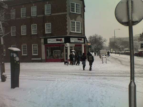
Photo: Starlingjon, CC BY-SA 3.0.
Cockfosters is a suburb of north London to the east of Chipping Barnet, lying partly in the London Borough of Enfield and partly in the London Borough of Barnet.
Oakwood
Quarter

Photo: John Salmon, CC BY-SA 2.0.
Oakwood is a suburban area of north London, in the London Borough of Enfield. It is situated within the Southgate postal area and was, historically, the southernmost area of Enfield Chase.
Southgate
Suburb

Photo: Londoneye, CC BY-SA 3.0.
Southgate is a suburban area of north London, England, in the London Borough of Enfield, 8 miles north of Charing Cross.
Hail & Ride Malcolms Way
- Type: Bus stop
- Category: transportation
- Location: Enfield, Greater London, England, United Kingdom, Britain and Ireland, Europe
- View on OpenStreetMap
Latitude
51.6465° or 51° 38′ 47″ northLongitude
-0.13521° or 0° 8′ 7″ westOpen location code
9C3XJVW7+HWOpenStreetMap ID
node 469789029OpenStreetMap feature
highway=bus_stopOpenStreetMap feature
public_transport=platform
This page is based on OpenStreetMap, Wikidata, and Wikimedia Commons.
We’d love your help improving our open data sources. Thank you for contributing.
Satellite Map
Discover Hail & Ride Malcolms Way from above in high-definition satellite imagery.
Notable Places Nearby
Highlights include Vita Et Pax School and Southgate Progressive Synagogue.
Nearby Places
Explore places such as Oakwood Food Centre and Harrison.
England: Must-Visit Destinations
Delve into London, Manchester, Sheffield, and Leeds.
Curious Bus Stops to Discover
Uncover intriguing bus stops from every corner of the globe.
About Mapcarta. Data © OpenStreetMap contributors and available under the Open Database License". Text is available under the CC BY-SA 4.0 license, except for photos, directions, and the map. Photo: sidibousaid, CC BY 2.0.