Robber’s Stone
Robber’s Stone is a historic site in West Lavington, Wiltshire, England. Robber’s Stone is situated nearby to the forest The Warren, as well as near the village Tilshead.| Tap on a place to explore it |
Photo: Hugh Chevallier, CC BY-SA 2.0.
- Type: Historic site
- Description: building in Chitterne, Wiltshire, England, UK
- Also known as: “Robbers‘ Stone at Gore Cross”
- Inscription: “AT THIS SPOT Mr. DEAN, of Imber was Attacked and Robbed by Four Highwaymen, in the evening of Octr. 21st. 1839. After a spirited pursuit of three hours one of the Felons BENJAMIN COLCLOUGH fell dead on Chitterne Down. THOMAS SAUNDERS, GEORGE WATERS, & RIC”
Places of Interest Nearby
Highlights include Church of All Saints and School.
Church of All Saints
Church

Photo: My another account, Public domain.
Church of All Saints is situated 1 mile north of Robber’s Stone.
School
Community center

Photo: Michael Dibb, CC BY-SA 2.0.
School is a community center, which is situated 2 miles north of Robber’s Stone.
Dauntsey’s School
School
Dauntsey's School is a public school for pupils aged 11–18 in the village of West Lavington, Wiltshire, England. The school was founded in 1542 in accordance with the will of William Dauntesey, a master of the Worshipful Company of Mercers. Dauntsey’s School is situated 1½ miles north of Robber’s Stone.
Places in the Area
Nearby places include Tilshead and Imber.
Tilshead
Village

Photo: Miss Steel, CC BY-SA 2.0.
Tilshead is a village and civil parish in the county of Wiltshire in Southern England, about 9 miles northwest of the town of Amesbury. It is close to the geographical centre of Salisbury Plain, on the A360 road approximately midway between the villages of Shrewton and West Lavington and is near the source of the River Till. Tilshead is situated 2½ miles southeast of Robber’s Stone.
Imber
Village
 Imber is an uninhabited village and former civil parish within the British Army's training area, now in the parish of Heytesbury, on Salisbury Plain, Wiltshire, England. Imber is situated 3 miles southwest of Robber’s Stone.
Chitterne
Village

Photo: Andrew Smith, CC BY-SA 2.0.
Chitterne is a village and civil parish in the county of Wiltshire, in the south west of England. The village lies in the middle of Salisbury Plain, about 7 miles east of the town of Warminster. Chitterne is situated 4½ miles south of Robber’s Stone.
Robber’s Stone
- Categories: memorial stone, tourist attraction, and tourism
- Location: West Lavington, Wiltshire, West Country, England, United Kingdom, Britain and Ireland, Europe
- View on OpenStreetMap
Latitude
51.26047° or 51° 15′ 38″ northLongitude
-1.98895° or 1° 59′ 20″ westOpen location code
9C3W7266+5COpenStreetMap ID
node 4701212056OpenStreetMap feature
historic=yesWikidata ID
Q26288097
This page is based on OpenStreetMap, Wikidata, and Wikimedia Commons.
We’d love your help improving our open data sources. Thank you for contributing.
Satellite Map
Discover Robber’s Stone from above in high-definition satellite imagery.
Notable Places Nearby
Highlights include The Warren and Pavilion.
Nearby Places
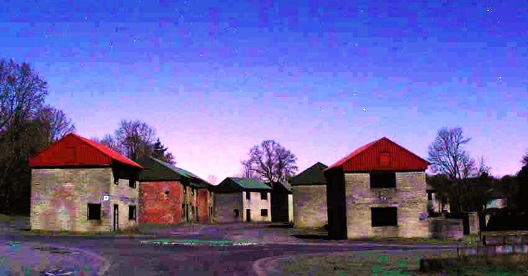
Explore places such as Cranfield Ordnance Test and Evaluation Centre (COTEC) and Gore Cross Farm.
Wiltshire: Must-Visit Destinations
Delve into Stonehenge, Salisbury, Warminster, and Swindon.
Curious Historic Sites to Discover
Uncover intriguing historic sites from every corner of the globe.
About Mapcarta. Data © OpenStreetMap contributors and available under the Open Database License". Text is available under the CC BY-SA 4.0 license, except for photos, directions, and the map. Photo: Hugh Chevallier, CC BY-SA 2.0.