Freiwillige Feuerwehr Lutterbek
Freiwillige Feuerwehr Lutterbek is a fire station in Lutterbek, Plön, Schleswig-Holstein which is located on Am Dorfteich. Freiwillige Feuerwehr Lutterbek is situated nearby to the village Brodersdorf, as well as near Prasdorf.| Tap on a place to explore it |
Places of Interest Nearby
Highlights include Museumshafen Probstei and Hagen Castle.
Museumshafen Probstei
Museum

Photo: Wikimedia, CC BY-SA 4.0.
Museumshafen Probstei is situated 3 km north of Freiwillige Feuerwehr Lutterbek.
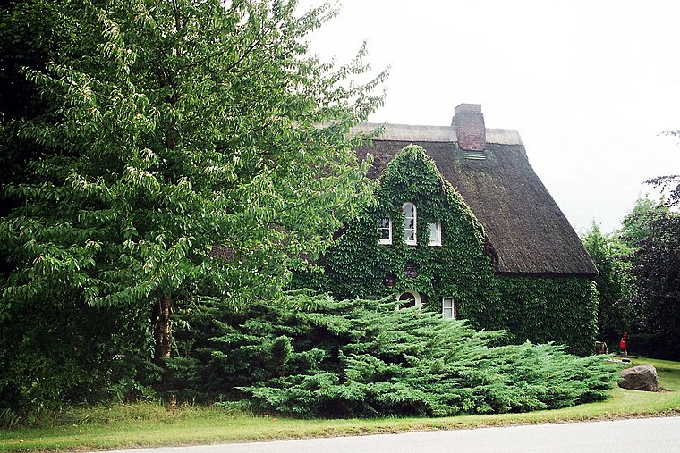
Hagen Castle
Castle

Photo: PodracerHH, CC BY 3.0.
Hagen Castle is situated 3½ km south of Freiwillige Feuerwehr Lutterbek.
Barsbeker See und Umgebung
Nature reserve

Photo: SGeiser, CC BY-SA 4.0.
Barsbeker See und Umgebung is a nature reserve, which is situated 3½ km northeast of Freiwillige Feuerwehr Lutterbek.
Places in the Area
Nearby places include Lutterbek and Brodersdorf.
Lutterbek
Village
 Lutterbek is a municipality in the district of Plön, in Schleswig-Holstein, Germany.
Brodersdorf
Village
 Brodersdorf is a municipality in the district of Plön, in Schleswig-Holstein, Germany.
Prasdorf
Village
 Prasdorf is a municipality in the district of Plön, in Schleswig-Holstein, Germany.
Freiwillige Feuerwehr Lutterbek
- Type: Fire station
- Address: Am Dorfteich 3, Lutterbek, 24235
- Location: Lutterbek, Plön, Schleswig-Holstein, Germany, Central Europe, Europe
- View on OpenStreetMap
Latitude
54.39181° or 54° 23′ 31″ northLongitude
10.27587° or 10° 16′ 33″ eastOpen location code
9F6G97RG+P8OpenStreetMap ID
node 471299993OpenStreetMap feature
amenity=fire_station
This page is based on OpenStreetMap, Wikidata, and Wikimedia Commons.
We’d love your help improving our open data sources. Thank you for contributing.
Satellite Map
Discover Freiwillige Feuerwehr Lutterbek from above in high-definition satellite imagery.
Notable Places Nearby
Highlights include Buggy Offroad Club Kiel and Dörpshus.
Nearby Places
Explore places such as Dorfgemeinschaftshaus and Alte Schmiede.
Schleswig-Holstein: Must-Visit Destinations
Delve into Kiel, Lübeck, Flensburg, and Heligoland.
Curious Fire Stations to Discover
Uncover intriguing fire stations from every corner of the globe.
About Mapcarta. Data © OpenStreetMap contributors and available under the Open Database License". Text is available under the CC BY-SA 4.0 license, except for photos, directions, and the map. Photo: Ypsilon from Finland, CC0.