Kushesh
Kushesh is a school in Tehran, Central Iran. Kushesh is situated nearby to the library کتابخانه علامه امینی, as well as near the park بوستان ناجی.| Tap on a place to explore it |
Places of Interest Nearby
Highlights include K.N.Toosi University of technology and Dafine Museum.
K.N.Toosi University of technology
University
The Khajeh Nasir Toosi University of Technology is a public research university in Tehran, Iran. It is named after medieval Persian scholar Khajeh Nasir Toosi. K.N.Toosi University of technology is situated 1¼ km west of Kushesh.

Mellat Park
Park

Photo: Mohammad Reza Dastaf…, CC BY 3.0.
Mellat Park, literally the Nation Park, is an urban park in northern Tehran, Iran. It is one of the city's largest green spaces, situated adjacent to Valiasr Street at the foot of the Alborz mountains to the east, extending to Chamran Expressway and Seoul Street to the west.
Places in the Area
Nearby places include District 3 and Evin.

Evin
Neighborhood
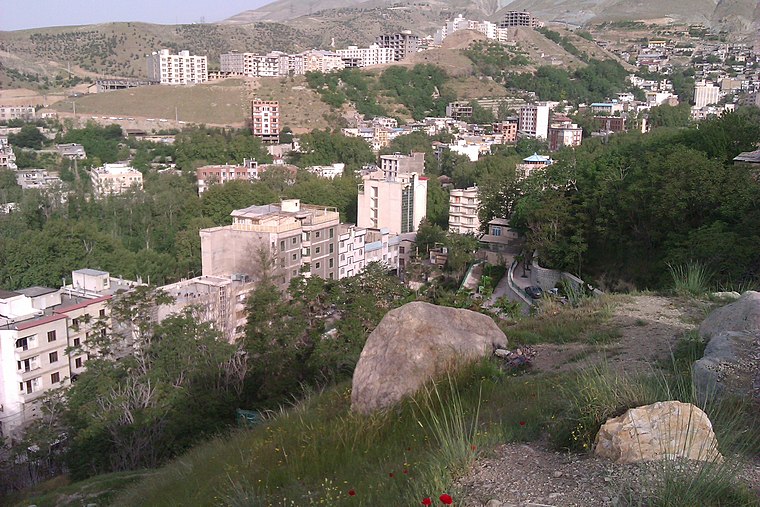
Photo: یوسف سعادت, CC BY-SA 3.0.
Evin is a neighbourhood in the north of Tehran. The district consists of an old section with homes surrounded by orchards and gardens and a new section with high rises and skyscrapers. Evin is situated 4½ km northwest of Kushesh.
Tajrish
Suburb
 Tajrish is a neighbourhood of Tehran, capital of Iran. Administratively it is in Shemiranat County, Tehran province and serves as the capital of the county. Tajrish is situated 4½ km northeast of Kushesh.
Kushesh
- Type: School
- Category: education
- Location: Tehran, Central Iran, Iran, Middle East, Asia
- View on OpenStreetMap
Latitude
35.76776° or 35° 46′ 4″ northLongitude
51.42141° or 51° 25′ 17″ eastOpen location code
8H7HQC9C+4HOpenStreetMap ID
node 4740267225OpenStreetMap feature
amenity=school
This page is based on OpenStreetMap, Wikidata, and Wikimedia Commons.
We’d love your help improving our open data sources. Thank you for contributing.
Satellite Map
Discover Kushesh from above in high-definition satellite imagery.
Places with the Same Name
Discover other places named “Kushesh”.
Notable Places Nearby
Highlights include کتابخانه علامه امینی and Saba Park.
Nearby Places
Explore places such as آزمایشگاه دنیا and مطب دکتر محمد گلشنی.
Tehran: Must-Visit Destinations
Delve into Tehran, Ray, Varamin, and Damavand.
Curious Schools to Discover
Uncover intriguing schools from every corner of the globe.
About Mapcarta. Data © OpenStreetMap contributors and available under the Open Database License". Text is available under the CC BY-SA 4.0 license, except for photos, directions, and the map. Photo: Wikimedia, CC0.