Taft/UN Avenue
Taft/UN Avenue is a bus stop in Ermita, Capital District, Metro Manila. Taft/UN Avenue is situated nearby to the park Plaza Rueda, as well as near the hospital Medical Center Manila.| Tap on a place to explore it |
Places of Interest Nearby
Highlights include Plaza Olivia Salamanca and Central United Methodist Church.
Plaza Olivia Salamanca
Park

Photo: Judgefloro, CC0.
Plaza Olivia Salamanca, also known simply as Plaza Salamanca, is a public square in Ermita, Manila, bounded by Taft Avenue to the east, Teodoro M. Kalaw Avenue to the north and General Luna Street to the west. Plaza Olivia Salamanca is situated 180 metres northwest of Taft/UN Avenue.
Central United Methodist Church
Church

Photo: Wikimedia, CC BY-SA 3.0.
Central United Methodist Church is the first Protestant church in the Philippines, located along T.M. Kalaw Street, Ermita, Manila. Founded on 5 March 1899 during the American Occupation, it was originally named Central Methodist Episcopal Church. Central United Methodist Church is situated 170 metres northwest of Taft/UN Avenue.
National Library of the Philippines
Library
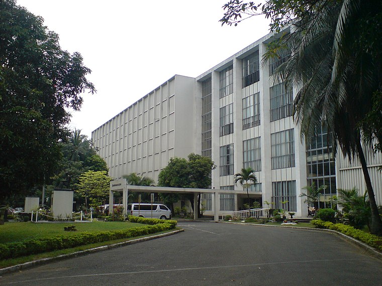
Photo: Sky Harbor, CC BY-SA 3.0.
The National Library of the Philippines is the Philippines' official repository of information on cultural heritage and other literary resources. It is located in the district of Ermita in Manila, near historically significant offices and institutions such as the National Museum of Natural History and the National Historical Commission. National Library of the Philippines is situated 610 metres west of Taft/UN Avenue.
Places in the Area
Nearby places include Southeast Manila and Ermita.
Southeast Manila

Photo: Judgefloro, CC BY-SA 4.0.
The districts of Paco, Pandacan, San Andres Bukid, and Santa Ana form a vast working-class area on the southeast of Manila. Though they have become homes for the lower class, the districts maintain their history and culture.
Ermita

Photo: Patrickroque01, CC BY-SA 3.0.
Ermita is a district in central Manila, Philippines. It is a significant center of finance, education, culture, and commerce. Ermita serves as the civic center of Manila, bearing the seat of city government and a large portion of the area's employment, business, and entertainment activities.
Manila

Photo: TheCoffee, CC BY-SA 3.0.
Manila is the capital of the Philippines and a major attraction in terms of culture and heritage in the country. Sprawling, congested and polluted will likely be the first words to enter your mind when you think of Manila but don't let that impression stop…
Taft/UN Avenue
- Type: Bus stop
- Category: transportation
- Location: Ermita, Capital District, Metro Manila, Luzon, Philippines, Southeast Asia, Asia
- View on OpenStreetMap
Latitude
14.58176° or 14° 34′ 54″ northLongitude
120.98484° or 120° 59′ 5″ eastOperator
Lungsod ng MaynilaOpen location code
7Q62HXJM+PWOpenStreetMap ID
node 4754999626OpenStreetMap feature
highway=bus_stopOpenStreetMap feature
public_transport=platform
This page is based on OpenStreetMap, Wikidata, and Wikimedia Commons.
We’d love your help improving our open data sources. Thank you for contributing.
Satellite Map
Discover Taft/UN Avenue from above in high-definition satellite imagery.
Notable Places Nearby
Highlights include Plaza Rueda and Medical Center Manila.
Nearby Places
Explore places such as UN Avenue and Taft/UN Avenue.
Metro Manila: Must-Visit Destinations
Delve into Manila, Quezon City, Makati, and Caloocan.
Curious Bus Stops to Discover
Uncover intriguing bus stops from every corner of the globe.
About Mapcarta. Data © OpenStreetMap contributors and available under the Open Database License". Text is available under the CC BY-SA 4.0 license, except for photos, directions, and the map. Photo: Sky Harbor, CC BY 2.0.