À la Fraite
À la Fraite is a locality in Trois-Ponts, Arrondissement of Verviers, Wallonia. À la Fraite is situated nearby to the locality Clos Pré, as well as near Sous les Prés.| Tap on a place to explore it |
Places of Interest
Highlights include Trois-Ponts railway station and Coo-Trois-Ponts Hydroelectric Power Station.

Coo-Trois-Ponts Hydroelectric Power Station
Power station

Photo: Ariadacapo, CC BY 4.0.
The Coo-Trois-Ponts Hydroelectric Power Station is a pumped-storage hydroelectric power station located in Trois-Ponts, Province of Liege, Belgium. Located next to the Amblève River, one of the few sites where 250+ meter local elevation can be found in Belgium.
Coo railway station
Railway stop

Photo: Japplemedia, CC BY-SA 4.0.
Coo railway station is a railway stop, which is situated 3 km northeast of À la Fraite.
Places in the Area
Nearby places include Basse-Bodeux and Coo.
Basse-Bodeux
Village

Photo: Paul Hermans, CC BY-SA 4.0.
Basse-Bodeux is a village, which is situated 2½ km west of À la Fraite.
Coo
Village

Photo: LimoWreck, CC BY-SA 3.0.
Coo is a village, which is situated 3 km north of À la Fraite.
Monceau
Village
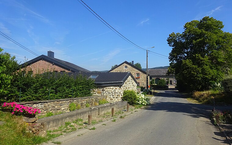
Photo: Rebexho, CC BY-SA 4.0.
Monceau is a village, which is situated 4 km northwest of À la Fraite.
À la Fraite
- Type: Locality
- Location: Trois-Ponts, Arrondissement of Verviers, Liège, Wallonia, Belgium, Benelux, Europe
- View on OpenStreetMap
Latitude
50.36596° or 50° 21′ 58″ northLongitude
5.85999° or 5° 51′ 36″ eastOpen location code
9F279V85+9XOpenStreetMap ID
node 4759183245OpenStreetMap feature
place=locality
This page is based on OpenStreetMap, Wikidata, and Wikimedia Commons.
We’d love your help improving our open data sources. Thank you for contributing.
Satellite Map
Discover À la Fraite from above in high-definition satellite imagery.
Localities in the Area
Explore places such as Clos Pré and Sous les Prés.
Notable Places Nearby
Highlights include Pouhon d’Henri-Moulin and Stade communal de Trois-Ponts.
Curious Localities to Discover
Uncover intriguing localities from every corner of the globe.
About Mapcarta. Data © OpenStreetMap contributors and available under the Open Database License". Text is available under the CC BY-SA 4.0 license, except for photos, directions, and the map. Photo: MetNL, CC BY-SA 4.0.