Sous Mamont
Sous Mamont is a locality in Trois-Ponts, Arrondissement of Verviers, Wallonia. Sous Mamont is situated nearby to the locality Robiet Moulin, as well as near Sur le Va.| Tap on a place to explore it |
Places of Interest
Highlights include Trois-Ponts railway station and Coo-Trois-Ponts Hydroelectric Power Station.
Trois-Ponts railway station
Railway station

Photo: Japplemedia, CC BY-SA 4.0.
Trois-Ponts railway station is situated 2½ km northeast of Sous Mamont.
Coo-Trois-Ponts Hydroelectric Power Station
Power station

Photo: Ariadacapo, CC BY 4.0.
The Coo-Trois-Ponts Hydroelectric Power Station is a pumped-storage hydroelectric power station located in Trois-Ponts, Province of Liege, Belgium. Located next to the Amblève River, one of the few sites where 250+ meter local elevation can be found in Belgium. Coo-Trois-Ponts Hydroelectric Power Station is situated 4 km north of Sous Mamont.
Places in the Area
Nearby places include Basse-Bodeux and Monceau.

Monceau
Village
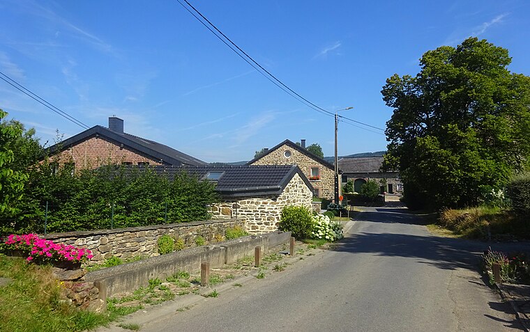
Photo: Rebexho, CC BY-SA 4.0.
Monceau is a village, which is situated 5 km northwest of Sous Mamont.
Coo
Village

Photo: LimoWreck, CC BY-SA 3.0.
Coo is a village, which is situated 5 km north of Sous Mamont.
Sous Mamont
- Type: Locality
- Location: Trois-Ponts, Arrondissement of Verviers, Liège, Wallonia, Belgium, Benelux, Europe
- View on OpenStreetMap
Latitude
50.35188° or 50° 21′ 7″ northLongitude
5.84957° or 5° 50′ 59″ eastOpen location code
9F279R2X+QROpenStreetMap ID
node 4759183466OpenStreetMap feature
place=locality
This page is based on OpenStreetMap, Wikidata, and Wikimedia Commons.
We’d love your help improving our open data sources. Thank you for contributing.
Satellite Map
Discover Sous Mamont from above in high-definition satellite imagery.
Localities in the Area
Explore places such as Robiet Moulin and Sur le Va.
Notable Places Nearby
Highlights include Ferme Bodso and Église Saint-Jacques.
Curious Localities to Discover
Uncover intriguing localities from every corner of the globe.
About Mapcarta. Data © OpenStreetMap contributors and available under the Open Database License". Text is available under the CC BY-SA 4.0 license, except for photos, directions, and the map. Photo: MetNL, CC BY-SA 4.0.