Dessus la Heid des Oulins
Dessus la Heid des Oulins is a locality in Trois-Ponts, Arrondissement of Verviers, Wallonia. Dessus la Heid des Oulins is situated nearby to the locality Grands Champs, as well as near Bonet.| Tap on a place to explore it |
Places of Interest
Highlights include Amcomont Castle.
Amcomont Castle
Castle

Photo: Merlintintin, CC BY-SA 4.0.
Amcomont Castle is situated 3½ km southwest of Dessus la Heid des Oulins.
Places in the Area
Nearby places include Basse-Bodeux and Monceau.

Monceau
Village
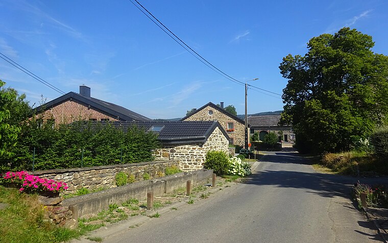
Photo: Rebexho, CC BY-SA 4.0.
Monceau is a village, which is situated 5 km north of Dessus la Heid des Oulins.
Cheneux
Village

Photo: Kendo1777, CC BY-SA 3.0.
Cheneux is a village, which is situated 6 km north of Dessus la Heid des Oulins.
Dessus la Heid des Oulins
- Type: Locality
- Location: Trois-Ponts, Arrondissement of Verviers, Liège, Wallonia, Belgium, Benelux, Europe
- View on OpenStreetMap
Latitude
50.34504° or 50° 20′ 42″ northLongitude
5.82837° or 5° 49′ 42″ eastOpen location code
9F278RWH+28OpenStreetMap ID
node 4759184206OpenStreetMap feature
place=locality
This page is based on OpenStreetMap, Wikidata, and Wikimedia Commons.
We’d love your help improving our open data sources. Thank you for contributing.
Satellite Map
Discover Dessus la Heid des Oulins from above in high-definition satellite imagery.
Localities in the Area
Explore places such as Heid des Oulins and Grands Champs.
Notable Places Nearby
Highlights include Brasserie de la Lienne and Chapelle Saint Remacle.
Curious Localities to Discover
Uncover intriguing localities from every corner of the globe.
About Mapcarta. Data © OpenStreetMap contributors and available under the Open Database License". Text is available under the CC BY-SA 4.0 license, except for photos, directions, and the map. Photo: MetNL, CC BY-SA 4.0.