Miseli
Miseli is a government office in Bamako, Koulikoro. Miseli is situated nearby to the police station Commissariat de police, as well as near the hospital Ophtalmo Keita Vision.| Tap on a place to explore it |
- Opening hours: Monday—Friday 8:00 AM—4:30 PM
- Email: siskoam@yahoo.fr
- Type: Government office
- Address: 17, 5448
Places of Interest Nearby
Highlights include Embassy of Ghana and Embassy of the United States.
Embassy of Ghana
Government office
The Embassy of Ghana in Bamako is the diplomatic mission of the Republic of Ghana to Mali. It also serves as the official residence of the Ghana ambassador to Mali. Embassy of Ghana is situated 2½ km south of Miseli.
Embassy of the United States
Government office
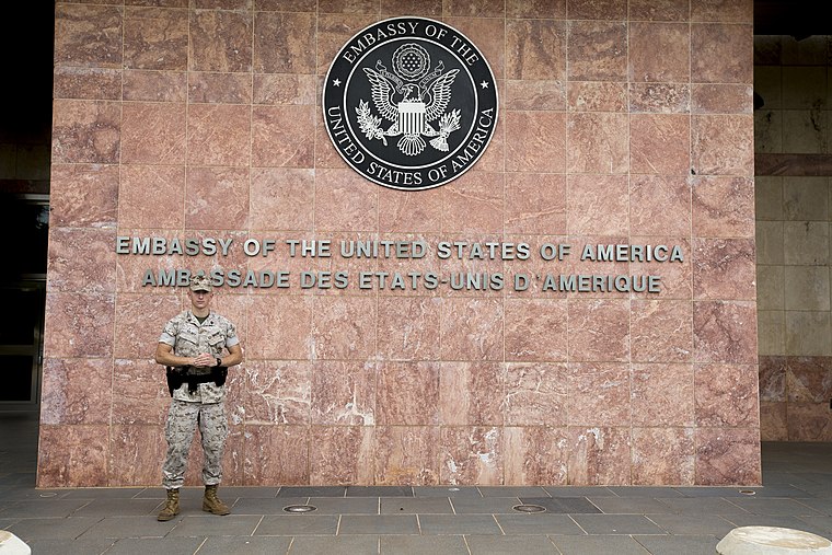
Photo: Diplomatic Security Service, Public domain.
Embassy of the United States is a government office, which is situated 3½ km southeast of Miseli.
Abdoul Karim Camara
Work of art

Photo: Rgaudin, Public domain.
Abdoul Karim Camara is a work of art, which is situated 2 km south of Miseli.
Miseli
- Categories: office and government building
- Location: Bamako, Koulikoro, Mali, Sahel, Africa
- View on OpenStreetMap
Latitude
12.65696° or 12° 39′ 25″ northLongitude
-8.0341° or 8° 2′ 3″ westOpen location code
7C4HMX48+Q9OpenStreetMap ID
node 4788437023OpenStreetMap feature
office=government
This page is based on OpenStreetMap, Wikidata, and Wikimedia Commons.
We’d love your help improving our open data sources. Thank you for contributing.
Satellite Map
Discover Miseli from above in high-definition satellite imagery.
In Other Languages
“Miseli” goes by many names.
- French: “Miseli”
Notable Places Nearby
Highlights include Commissariat de police and Ophtalmo Keita Vision.
Nearby Places
Explore places such as Station St and Binkadinaka.
Curious Government Offices to Discover
Uncover intriguing government offices from every corner of the globe.
About Mapcarta. Data © OpenStreetMap contributors and available under the Open Database License". Text is available under the CC BY-SA 4.0 license, except for photos, directions, and the map. Photo: Rgaudin, Public domain.