Restaurante hostal Las Cruceras
Restaurante hostal Las Cruceras is a restaurant in El Barraco, Avila, Castile and León. Restaurante hostal Las Cruceras is situated nearby to the peak Cerro de la Laguna, as well as near the mountain saddle Portacho de la Isiruela.| Tap on a place to explore it |
Places of Interest Nearby
Highlights include Cabeza de la Parra and El Burguillo dam.
Cabeza de la Parra
Peak
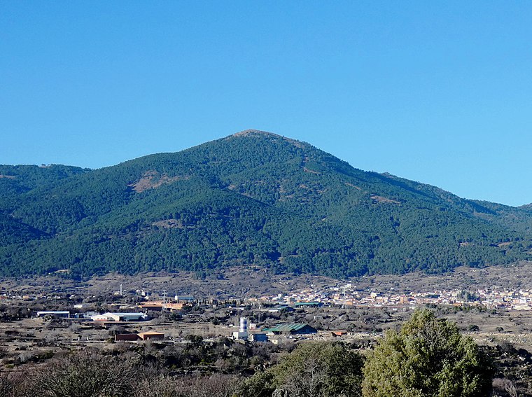
Photo: Miguel Angel Masegosa Martínez, CC BY 2.0.
Cabeza de la Parra is a peak, which is situated 3½ km southeast of Restaurante hostal Las Cruceras.
El Burguillo dam
Dam

Photo: Miguel Angel Masegosa Martínez, CC BY 2.0.
El Burguillo dam is situated 2½ km east of Restaurante hostal Las Cruceras.
Places in the Area
Nearby places include El Tiemblo and Cebreros.
El Tiemblo
Village

Photo: Miguel Angel Masegosa Martínez, CC BY 2.0.
El Tiemblo is a municipality located in the province of Ávila, Castile and León, Spain. According to the 2012 census, the municipality has a population of 4,461 inhabitants, and covers an area of about 75 km2. El Tiemblo is situated 5 km east of Restaurante hostal Las Cruceras.
Cebreros
Village

Photo: Miguel Angel Masegosa Martínez, CC BY 2.0.
Cebreros is a municipality of Spain, located in the province of Ávila, part of the autonomous community of Castile and León. As of 2018, it had a population of 3,056. Cebreros is situated 9 km northeast of Restaurante hostal Las Cruceras.
Restaurante hostal Las Cruceras
- Type: Restaurant
- Cuisine: regional
- Category: food
- Location: El Barraco, Avila, Castile and León, Central Spain, Spain, Iberia, Europe
- View on OpenStreetMap
Latitude
40.41927° or 40° 25′ 9″ northLongitude
-4.56235° or 4° 33′ 45″ westOpen location code
8CGQCC9Q+P3OpenStreetMap ID
node 4796596421OpenStreetMap feature
amenity=restaurantOpenStreetMap attribute
cuisine=regional
This page is based on OpenStreetMap, Wikidata, and Wikimedia Commons.
We’d love your help improving our open data sources. Thank you for contributing.
Satellite Map
Discover Restaurante hostal Las Cruceras from above in high-definition satellite imagery.
Notable Places Nearby
Highlights include Cerro de la Laguna and Portacho de la Isiruela.
Nearby Places
Explore places such as Núcleo de Turismo Rural Valle de Iruelas and Ermita del Carmen.
Castile and León: Must-Visit Destinations
Delve into Valladolid, Salamanca, Segovia, and León.
Curious Restaurants to Discover
Uncover intriguing restaurants from every corner of the globe.
About Mapcarta. Data © OpenStreetMap contributors and available under the Open Database License". Text is available under the CC BY-SA 4.0 license, except for photos, directions, and the map. Photo: Paulo Valdivieso, CC BY-SA 2.0.