Northorpe Fen Airstrip
Northorpe Fen Airstrip is an aerodrome in Thurlby, South Kesteven District, England which is located on Manthorpe Drove. Northorpe Fen Airstrip is situated nearby to the locality Thurlby Fen, as well as near Thurlby Rails.| Tap on a place to explore it |
Places of Interest
Highlights include Bourne Grammar School and Chapel of Rest.
Bourne Grammar School
College
Bourne Grammar School is a co-educational grammar school on South Road, in Bourne, Lincolnshire, England. The school was founded in 1330. It previously held Arts College Status, and was awarded Academy status in January 2012, although it retains its former name.
Chapel of Rest
Church

Photo: Rex Needle, CC BY-SA 2.0.
The Chapel of Rest is a Grade II listed cemetery chapel in Bourne, Lincolnshire. It was built in 1854-5 in Gothic Revival style, and designed by the noted local architect Edward Browning. It consisted of Anglican and Nonconformist chapels in a single building.

Places in the Area
Nearby places include Bourne and Thurlby.
Bourne
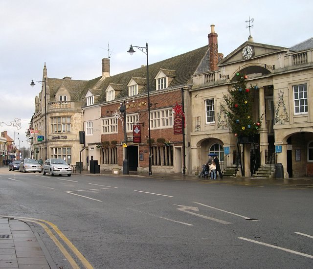
Photo: Tony Atkin, CC BY-SA 2.0.
Bourne is a market town in Lincolnshire, with a population of 18,000 in 2021. There are 71 listed buildings in the parish of Bourne, the most important being Bourne Abbey and the Parish Church of St Peter and St Paul, which is scheduled Grade I.
Thurlby
Village

Photo: Tony Atkin, CC BY-SA 2.0.
Thurlby is a village and civil parish in the South Kesteven district of Lincolnshire, England. It is situated just west of the A15 road, 2 miles south from the town of Bourne, and on the edge of the Lincolnshire Fens.
Kates Bridge
Hamlet

Photo: Brian Green, CC BY-SA 2.0.
Kates Bridge is a landmark settlement on the A15 road, in the parish of Thurlby. It is approximately 3 miles south from Bourne, Lincolnshire, England. Today, Kates Bridge consists of little more than three bridges, a petrol filling station, tractor dealership, five houses, and a farm.
Northorpe Fen Airstrip
- Type: Aerodrome
- Address: Manthorpe Drove, Thurlby
- Category: transportation
- Location: Thurlby, South Kesteven District, Lincolnshire, East Midlands, England, United Kingdom, Britain and Ireland, Europe
- View on OpenStreetMap
Latitude
52.7455° or 52° 44′ 44″ northLongitude
-0.3423° or 0° 20′ 32″ westOpen location code
9C4XPMW5+53OpenStreetMap ID
node 4798385032OpenStreetMap feature
aeroway=aerodrome
This page is based on OpenStreetMap, Wikidata, and Wikimedia Commons.
We’d love your help improving our open data sources. Thank you for contributing.
Satellite Map
Discover Northorpe Fen Airstrip from above in high-definition satellite imagery.
Localities in the Area
Explore places such as Northorpe Fen and Thurlby Fen.
Notable Places Nearby
Highlights include Thurlby Fen Slipe Nature Reserve and Saint Firmin’s Church.
Lincolnshire: Must-Visit Destinations
Delve into Lincoln, Grimsby, Scunthorpe, and Stamford.
Curious Aerodromes to Discover
Uncover intriguing aerodromes from every corner of the globe.
About Mapcarta. Data © OpenStreetMap contributors and available under the Open Database License". Text is available under the CC BY-SA 4.0 license, except for photos, directions, and the map. Photo: Wikimedia, CC0.