Grote Baan - Grand’Route
Grote Baan - Grand’Route is a tram stop in Brussels, Belgium. Grote Baan - Grand’Route is situated nearby to the community center Gemeenschapscentrum Drogenbos, as well as near the church Sint-Niklaaskerk.| Tap on a place to explore it |
Places of Interest Nearby
Highlights include Sint-Niklaaskerk and Nemo 33.
Sint-Niklaaskerk
Church

Photo: Walter De Smet, CC BY-SA 3.0.
Sint-Niklaaskerk is a church, which is situated 120 metres southwest of Grote Baan - Grand’Route.
Nemo 33
Sports venue

Photo: Wikimedia, CC BY-SA 3.0.
Nemo 33 is an indoor non-chlorinated fresh water facility in Brussels, Belgium. It previously held the Guinness World Record as the deepest indoor swimming pool in the world between its opening on 1 May 2004, and the completion of "Y-40 The Deep Joy" at Hotel Terme Millepini in Montegrotto Terme, Padua, Italy, on 5 June 2014. Nemo 33 is situated 1 km north of Grote Baan - Grand’Route.
Nekkersgat Mill
Watermill

Photo: Tram Bruxelles, CC BY-SA 4.0.
Nekkersgat Mill is a watermill, which is situated 600 metres northeast of Grote Baan - Grand’Route.
Places in the Area
Nearby places include Drogenbos and Ruisbroek.
Drogenbos
Village
Photo: Walter De Smet, CC BY-SA 3.0.
Drogenbos is a municipality in the province of Flemish Brabant, in the Flemish region of Belgium. The municipality only comprises the town of Drogenbos proper.
Ruisbroek
Village
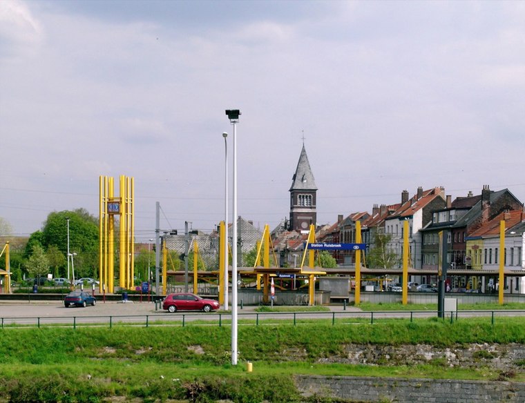
Photo: Koos Fernhout, CC BY-SA 2.0.
Ruisbroek is a village in the municipality of Sint-Pieters-Leeuw, in the Belgian province of Flemish Brabant. Previously a separate municipality, it became a deelgemeente of Sint-Pieters-Leeuw in 1977.
Stalle
Neighborhood
Stalle is a district of Brussels, Belgium, located within the municipality of Uccle. The area lies between the valleys of the Geleytsbeek and the Ukkelbeek and takes its name from the former lordship of Stalle.
Grote Baan - Grand’Route
- Type: Tram stop
- Categories: railway stop, transport stop, and transportation
- Location: Brussels, Brussels Capital, Belgium, Benelux, Europe
- View on OpenStreetMap
Latitude
50.78775° or 50° 47′ 16″ northLongitude
4.31755° or 4° 19′ 3″ eastOpen location code
9F26Q8Q9+42OpenStreetMap ID
node 4799047088OpenStreetMap feature
public_transport=stop_positionOpenStreetMap feature
railway=tram_stop
This page is based on OpenStreetMap, Wikidata, and Wikimedia Commons.
We’d love your help improving our open data sources. Thank you for contributing.
Satellite Map
Discover Grote Baan - Grand’Route from above in high-definition satellite imagery.
In Other Languages
From Dutch to French—“Grote Baan - Grand’Route” goes by many names.
- Dutch: “Grote Baan”
- French: “Grand’Route”
Notable Places Nearby
Highlights include Gemeenschapscentrum Drogenbos and Gemeentehuis Drogenbos - Maison communale de Drogenbos.
Nearby Places
Explore places such as Grote Baan - Grand’Route and Le Petit Chemin.
Belgium: Must-Visit Destinations
Delve into Brussels, Antwerp, Ghent, and Liège.
Curious Tram Stops to Discover
Uncover intriguing tram stops from every corner of the globe.
About Mapcarta. Data © OpenStreetMap contributors and available under the Open Database License". Text is available under the CC BY-SA 4.0 license, except for photos, directions, and the map. Photo: Hullie, CC BY-SA 3.0.