Lot #144
Lot #144 is a parking area in Edmonton, Edmonton Capital Region, Alberta which is located on 109 Street NW. Lot #144 is situated nearby to First Baptist Church, as well as near the railway station Corona Station.| Tap on a place to explore it |
- Type: Parking area
- Address: 10047 109 Street NW, Edmonton, T5J 0C6
- Parking: underground
Places of Interest Nearby
Highlights include Corona station and Rogers Place.
Corona station
Railway station

Photo: Wikimedia, CC BY-SA 2.0.
Corona station is an Edmonton LRT station in Edmonton, Alberta, Canada. It serves both the Capital Line and the Metro Line. It is an underground station located beneath Jasper Avenue between 107 Street and 108 Street. Corona station is situated 210 metres east of Lot #144.
Rogers Place
Stadium
 Rogers Place is a multi-use indoor arena in Edmonton, Alberta, Canada. Construction started in March 2014, and the building officially opened on 8 September 2016. Rogers Place is situated 1 km northeast of Lot #144.
St. Joachim’s Roman Catholic Church
Church

Photo: Arctic.gnome, CC BY-SA 3.0.
St. Joachim’s Roman Catholic Church is situated 320 metres southwest of Lot #144.
Places in the Area
Nearby places include Wîhkwêntôwin and Central Edmonton.
Wîhkwêntôwin
Neighborhood
Wîhkwêntôwin is one of the oldest residential neighbourhoods in the City of Edmonton, Alberta, Canada. Wîhkwêntôwin is immediately to the west of the downtown core, and overlooks the North Saskatchewan River valley south of the neighbourhood.
Central Edmonton
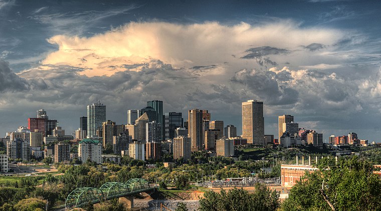
Photo: WinterE229, CC0.
Central Edmonton is most densely urbanized and oldest area of Edmonton. The heart of Central Edmonton is the "Downtown Core": which is what locals call the central business district plus the areas immediately adjacent like the Government Centre and the Warehouse District.
Rossdale
Neighborhood
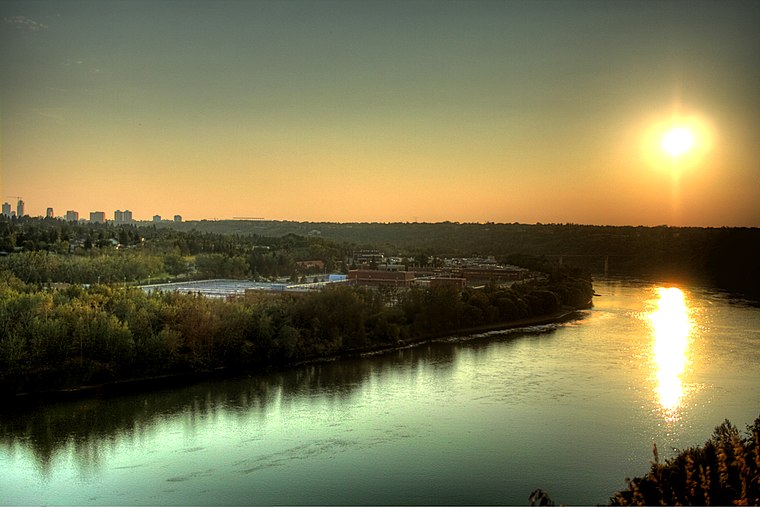
Photo: WinterE229, CC0.
Rossdale is a river valley neighbourhood in the city of Edmonton, Alberta, Canada, located immediately south of the downtown core. It is a popular residential neighbourhood with easy access to downtown, the University of Alberta, the Edmonton river valley park system, and other amenities.
Lot #144
- Category: transportation
- Location: Edmonton, Edmonton Capital Region, Alberta, Prairies, Canada, North America
- View on OpenStreetMap
Latitude
53.54032° or 53° 32′ 25″ northLongitude
-113.50774° or 113° 30′ 28″ westOpen location code
9558GFRR+4WOpenStreetMap ID
node 4815100791OpenStreetMap feature
amenity=parkingOpenStreetMap attribute
parking=underground
This page is based on OpenStreetMap, Wikidata, and Wikimedia Commons.
We’d love your help improving our open data sources. Thank you for contributing.
Satellite Map
Discover Lot #144 from above in high-definition satellite imagery.
Notable Places Nearby
Highlights include First Baptist Church and Corona Station.
Nearby Places
Explore places such as Mayfair Village South and Tiger Sugar.
Edmonton: Must-Visit Destinations
Delve into Central Edmonton, South Central, South Edmonton, and North Edmonton.
Curious Parking Areas to Discover
Uncover intriguing parking areas from every corner of the globe.
About Mapcarta. Data © OpenStreetMap contributors and available under the Open Database License". Text is available under the CC BY-SA 4.0 license, except for photos, directions, and the map. Photo: WinterE229, CC0.