مرکز تحقیقات راه، مسکن و شهرسازی
مرکز تحقیقات راه، مسکن و شهرسازی is a government office in Tehran, Central Iran. مرکز تحقیقات راه، مسکن و شهرسازی is situated nearby to the government office شهرداری منطقه دو ناحیه چهار, as well as near the park بوستان گلستان.| Tap on a place to explore it |
- Opening hours: Saturday—Wednesday 8:30 AM—5:00 PM
- Email: info@bhrc.ac.ir
- Type: Government office
Places of Interest Nearby
Highlights include Pardisan Park and Iran University of Medical Sciences.
Pardisan Park
Park
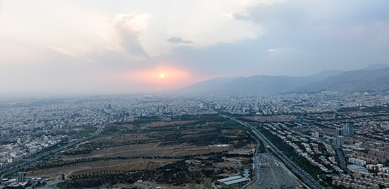
Photo: Wikimedia, CC BY-SA 4.0.
Pardisan Park is a complex covering more than 270 hectares, located in the northwest of Tehran. It is connected to Hemmat Expressway in the north, and to Sheikh Nouri Expressway in the east.
Iran University of Medical Sciences
University

Photo: Amirreza, CC BY-SA 3.0.
Iran University of Medical Sciences is a high ranked medical university in Iran. Located in Tehran, it was founded in 1974 under the name The Imperial Medical Center. Iran University of Medical Sciences is situated 1½ km northeast of مرکز تحقیقات راه، مسکن و شهرسازی.
Milad Hospital
Hospital
 Milad Hospital is one of the largest specialized and subspecialized hospitals in Iran. This hospital is a complementary health service provider in Iran's Social Security organization chain of hospitals. Milad Hospital is situated 1½ km northeast of مرکز تحقیقات راه، مسکن و شهرسازی.
Places in the Area
Nearby places include District 2 and District 6.
District 2
Suburb

Photo: Blondinrikard Fröberg, CC BY 2.0.
District 2 of Tehran Municipality, is one of 2 municipality districts of Tehran, which is located in Northeast of Azadi Sq. It stretches from West to Northwest and Azadi St. to South, to Ashrafi Esfahani Highway and Mohammad Ali Jenah Expressway to West, and Chamran Highway to East. District 2 is situated 2½ km north of مرکز تحقیقات راه، مسکن و شهرسازی.
District 6
Suburb
 District 6 is a suburb, which is situated 3½ km southeast of مرکز تحقیقات راه، مسکن و شهرسازی.
Punak
Neighborhood
Photo: Blondin Rikard, CC BY 2.0.
Punak is a high-class and luxurious neighborhood in north Tehran, the capital city of Iran. The name of one of the most expensive and promising neighborhoods in the city of Tehran, located in the northwest. Punak is situated 4½ km northwest of مرکز تحقیقات راه، مسکن و شهرسازی.
مرکز تحقیقات راه، مسکن و شهرسازی
- Categories: office and government building
- Location: Tehran, Central Iran, Iran, Middle East, Asia
- View on OpenStreetMap
Latitude
35.73964° or 35° 44′ 23″ northLongitude
51.36528° or 51° 21′ 55″ eastOpen location code
8H7HP9Q8+V4OpenStreetMap ID
node 4823754421OpenStreetMap feature
office=government
This page is based on OpenStreetMap, Wikidata, and Wikimedia Commons.
We’d love your help improving our open data sources. Thank you for contributing.
Satellite Map
Discover مرکز تحقیقات راه، مسکن و شهرسازی from above in high-definition satellite imagery.
Notable Places Nearby
Highlights include مرکز تحقیقات راه، مسکن و شهرسازی and شهرداری منطقه دو ناحیه چهار.
Nearby Places
Explore places such as Road, Housing and Development Research Center and شهرک فرهنگیان فاز دو.
Tehran: Must-Visit Destinations
Delve into Tehran, Ray, Varamin, and Damavand.
Curious Government Offices to Discover
Uncover intriguing government offices from every corner of the globe.
About Mapcarta. Data © OpenStreetMap contributors and available under the Open Database License". Text is available under the CC BY-SA 4.0 license, except for photos, directions, and the map. Photo: Wikimedia, CC0.