Morro Cachoeira
Morro Cachoeira is a suburb in São Paulo, Southeast. Morro Cachoeira is situated nearby to the neighborhood Vila São Jorge, as well as near Morro da Nova Cintra.| Tap on a place to explore it |
Places of Interest
Highlights include Engenho dos Erasmos and Estádio Espanha.
Engenho dos Erasmos
Museum

Photo: Cayoav, CC BY-SA 4.0.
Engenho dos Erasmos or Engenho São Jorge dos Erasmos was a sugar cane facility on the island of São Vicente, Brazil. Constructed around 1534, the engenho was owned for most of its working life by the Schetz family.
Estádio Espanha
Stadium
Jabaquara Atlético Clube, or simply Jabaquara, is a Brazilian football team based in Santos, São Paulo. Founded in 1914, it plays in Campeonato Paulista Segunda Divisão.
Memorial Necrópole Ecumênica
Cemetery
 The Memorial Necrópole Ecumênica is a Brazilian cemetery. Located in Santos, in the state of São Paulo, its construction began in 1983, and the first burial was on 28 July 1984. It was formally inaugurated on 20 September 1991.
Places in the Area
Nearby places include São Vicente and Santos.
São Vicente

Photo: Wikimedia, CC BY-SA 3.0.
São Vicente is a city in the Baixada Santista metro area, in the São Paulo state, being conurbated with Santos. Founded in 1532, it considered to be the oldest city of Brazil.
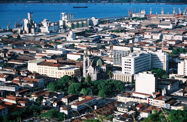
Santos

Photo: Wikimedia, CC BY-SA 2.0.
Santos is a city in the south of the state of São Paulo, Brazil. Santos is the core city of Baixada Santista, a coastal metropolitan area, and contains the most important port in South America.
Morro Cachoeira
- Type: Suburb
- Category: locality
- Location: São Paulo, Southeast, Brazil, South America
- View on OpenStreetMap
Latitude
-23.94715° or 23° 56′ 50″ southLongitude
-46.36104° or 46° 21′ 40″ westOpen location code
588M3J3Q+4HOpenStreetMap ID
node 4826203025OpenStreetMap feature
place=suburb
This page is based on OpenStreetMap, Wikidata, and Wikimedia Commons.
We’d love your help improving our open data sources. Thank you for contributing.
Satellite Map
Discover Morro Cachoeira from above in high-definition satellite imagery.
Localities in the Area
Explore places such as Vila São Jorge and Morro da Nova Cintra.
Notable Places Nearby
Highlights include Morro São Jorge and Praça Maria Mercedes Féa.
São Paulo: Must-Visit Destinations
Delve into São Paulo, Osasco, Santos, and Campinas.
Curious Suburbs to Discover
Uncover intriguing suburbs from every corner of the globe.
About Mapcarta. Data © OpenStreetMap contributors and available under the Open Database License". Text is available under the CC BY-SA 4.0 license, except for photos, directions, and the map. Photo: Wikimedia, CC BY-SA 3.0.