GCH Acton Care Centre
GCH Acton Care Centre is a clinic in Ealing, Greater London, England. GCH Acton Care Centre is situated nearby to the school Ark Acton Academy, as well as near the sports venue Reynolds Sports Centre.| Tap on a place to explore it |
Places of Interest Nearby
Highlights include Acton Town tube station and Ark Acton Academy.
Acton Town tube station
Metro station

Photo: HTUK, Public domain.
Acton Town is a London Underground station in the south-west corner of Acton, West London, in the London Borough of Ealing, close to its boundary with the London Borough of Hounslow. Acton Town tube station is situated 1,300 feet south of GCH Acton Care Centre.
Ark Acton Academy
School
Ark Acton Academy, is a coeducational secondary school and sixth form located in the Acton area of the London Borough of Ealing, England. The school teaches pupils between the ages of 11 and 18. Ark Acton Academy is situated 360 feet west of GCH Acton Care Centre.
Library for Iranian Studies
Library
Library for Iranian Studies is a major Persian library in Acton district of London, England. It has over 30,000 books in the Persian language, as well as English and other languages. The library receives no governmental funding and is voluntary controlled. Library for Iranian Studies is situated 1,100 feet east of GCH Acton Care Centre.
Places in the Area
Nearby places include Acton and Chiswick.
Acton
Town
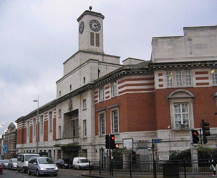
Photo: Patche99z, Public domain.
Acton is a town in West London, England, within the London Borough of Ealing. It is 6.1 miles west of Charing Cross. At the 2011 census, its four wards, East Acton, Acton Central, South Acton and Southfield, had a population of 62,480, a ten-year increase of 8,791 people. North Acton, West Acton, East Acton, South Acton, Acton Green, Acton Town, Acton Vale and Acton Central are all parts of Acton.
Chiswick
Town
Photo: Patche99z, Public domain.
Chiswick is a district in West London, split between the London Boroughs of Hounslow and Ealing. It contains Hogarth's House, the former residence of the 18th-century English artist William Hogarth, Chiswick House, a neo-Palladian villa regarded as one of the finest in England and Fuller's Brewery, London's largest and oldest brewery.
Ealing
Town

Photo: P.g.champion, CC BY 2.0 uk.
Ealing is a district in west London, England, 7.5 miles west of Charing Cross in the London Borough of Ealing. It is the administrative centre of the borough and is identified as a major metropolitan centre in the London Plan.
GCH Acton Care Centre
- Email: actoncarecentre@goldcarehomes.com
- Type: Clinic
- Category: health care
- Location: Ealing, Greater London, England, United Kingdom, Britain and Ireland, Europe
- View on OpenStreetMap
Latitude
51.50609° or 51° 30′ 22″ northLongitude
-0.27874° or 0° 16′ 44″ westOpen location code
9C3XGP4C+CGOpenStreetMap ID
node 4838256622OpenStreetMap feature
amenity=clinicOpenStreetMap feature
healthcare=clinic
This page is based on OpenStreetMap, Wikidata, and Wikimedia Commons.
We’d love your help improving our open data sources. Thank you for contributing.
Satellite Map
Discover GCH Acton Care Centre from above in high-definition satellite imagery.
Notable Places Nearby
Highlights include Reynolds Sports Centre and Acton Fire Station (G26).
Nearby Places
Explore places such as Passmore Edwards Cottage Hospital and Mill Hill Road.
England: Must-Visit Destinations
Delve into London, Manchester, Sheffield, and Leeds.
Curious Clinics to Discover
Uncover intriguing clinics from every corner of the globe.
About Mapcarta. Data © OpenStreetMap contributors and available under the Open Database License". Text is available under the CC BY-SA 4.0 license, except for photos, directions, and the map. Photo: sidibousaid, CC BY 2.0.