Joh. Peter Blameuser
Joh. Peter Blameuser is a wayside cross in Hentern, Trier-Saarburg, Rhineland-Palatinate. Joh. Peter Blameuser is situated nearby to Festplatz, as well as near the fire station Freiwillige Feuerwehr Hentern.| Tap on a place to explore it |
- Type: Wayside cross
- Denomination: Catholic
- Inscription: “Ruhestätte des Lehreres Joh. Peter Blameuser aus Daleiden - gestorben zu Hentern 19.Sept.1872 - RIP”
Places of Interest Nearby
Highlights include St. Laurentius and Zerf railway station.
St. Laurentius
Church

Photo: Lsjm, CC BY-SA 4.0.
St. Laurentius is a church, which is situated 1½ km south of Joh. Peter Blameuser.
Zerf railway station
Building
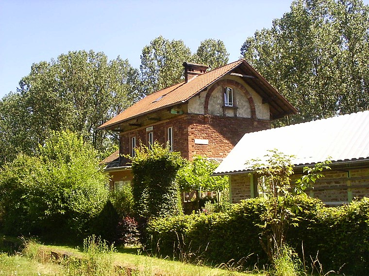
Photo: Pimvantend, CC BY-SA 3.0.
Zerf railway station is a building, which is situated 1½ km southeast of Joh. Peter Blameuser.
Burg Heid
Castle

Photo: Wolkenkratzer, CC BY-SA 4.0.
Burg Heid is a castle, which is situated 4 km northeast of Joh. Peter Blameuser.
Places in the Area
Nearby places include Baldringen and Schömerich.
Baldringen
Village

Photo: Palauenc05, CC BY-SA 4.0.
Baldringen is a municipality in the Trier-Saarburg district, in Rhineland-Palatinate, Germany.
Schömerich
Village

Photo: P170, CC BY-SA 4.0.
Schömerich is a municipality in the Trier-Saarburg district, in Rhineland-Palatinate, Germany.
Paschel
Village
 Paschel is a municipality in the Trier-Saarburg district, in Rhineland-Palatinate, Germany.
Joh. Peter Blameuser
- Category: historic site
- Location: Hentern, Trier-Saarburg, Rhineland-Palatinate, Germany, Central Europe, Europe
- View on OpenStreetMap
Latitude
49.61717° or 49° 37′ 2″ northLongitude
6.69306° or 6° 41′ 35″ eastInception
1872Open location code
8FX8JM8V+V6OpenStreetMap ID
node 4854050905OpenStreetMap feature
historic=wayside_crossOpenStreetMap attribute
denomination=catholic
This page is based on OpenStreetMap, Wikidata, and Wikimedia Commons.
We’d love your help improving our open data sources. Thank you for contributing.
Satellite Map
Discover Joh. Peter Blameuser from above in high-definition satellite imagery.
Notable Places Nearby
Highlights include Festplatz and Freiwillige Feuerwehr Hentern.
Nearby Places
Explore places such as Hentern, Am Kirchberg and Hentern, K47.
Rhineland-Palatinate: Must-Visit Destinations
Delve into Mainz, Trier, Koblenz, and Worms.
Curious Wayside Crosses to Discover
Uncover intriguing wayside crosses from every corner of the globe.
About Mapcarta. Data © OpenStreetMap contributors and available under the Open Database License". Text is available under the CC BY-SA 4.0 license, except for photos, directions, and the map. Photo: Traveler100, CC BY-SA 3.0.