Carrefour Emploi-Formation
Carrefour Emploi-Formation is a government office in Namur, Namur, Wallonia which is located on Avenue Prince de Liège. Carrefour Emploi-Formation is situated nearby to the government office Forem, as well as near Agence du Numérique.| Tap on a place to explore it |
Places of Interest Nearby
Highlights include Pont du Luxembourg and Élysette.
Pont du Luxembourg
Bridge
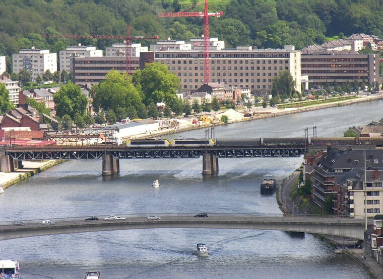
Photo: Wikimedia, CC BY-SA 3.0.
Pont du Luxembourg is a bridge, which is situated 500 metres west of Carrefour Emploi-Formation.
Élysette
Public building

Photo: Wikimedia, Public domain.
The Élysette is the executive seat of the Government of Wallonia. It houses the office of the Minister-President of Wallonia, and is located in Namur, Namur province, Belgium. Élysette is situated 1¼ km southwest of Carrefour Emploi-Formation.
African museum of Namur
Museum

Photo: Ji-Elle, CC BY-SA 4.0.
African museum of Namur is situated 1 km west of Carrefour Emploi-Formation.
Places in the Area
Nearby places include Jambes and Grognon.
Jambes
Town

Photo: Jean-Pol GRANDMONT, CC BY 3.0.
Jambes is a sub-municipality of the city of Namur located in the province of Namur, Wallonia, Belgium. It was a separate municipality until 1977. On 1 January 1977, it was merged into Namur.

Bouge
Village
Bouge is a sub-municipality of the city of Namur located in the province of Namur, Wallonia, Belgium. It was a separate municipality until 1977. On 1 January 1977, it was merged into Namur.
Carrefour Emploi-Formation
- Type: Government office
- Address: Avenue Prince de Liège
- Categories: office and government building
- Location: Namur, Arrondissement of Namur, Namur, Wallonia, Belgium, Benelux, Europe
- View on OpenStreetMap
Latitude
50.46413° or 50° 27′ 51″ northLongitude
4.8865° or 4° 53′ 11″ eastOpen location code
9F26FV7P+MHOpenStreetMap ID
node 4887452521OpenStreetMap feature
office=government
This page is based on OpenStreetMap, Wikidata, and Wikimedia Commons.
We’d love your help improving our open data sources. Thank you for contributing.
Satellite Map
Discover Carrefour Emploi-Formation from above in high-definition satellite imagery.
In Other Languages
“Carrefour Emploi-Formation” goes by many names.
- French: “Carrefour Emploi-Formation”
Notable Places Nearby
Highlights include Forem and Agence du Numérique.
Nearby Places
Explore places such as Tour d’Orjo and Miette.
Curious Government Offices to Discover
Uncover intriguing government offices from every corner of the globe.
About Mapcarta. Data © OpenStreetMap contributors and available under the Open Database License". Text is available under the CC BY-SA 4.0 license, except for photos, directions, and the map. Photo: Guywets, CC BY-SA 3.0.