Tariq Halal
Tariq Halal is a convenience store in Reading, England. Tariq Halal is situated nearby to the community center The Silvers Workshop, as well as near Battle Library.| Tap on a place to explore it |
Places of Interest Nearby
Highlights include Battle Library and Reading West Railway Station.

Reading West Railway Station
Railway station

Photo: Graham Horn, CC BY-SA 2.0.
Reading West railway station serves West Reading, Berkshire, about 1 mile west from the town's main retail and commercial areas. The station is served by local services operated by Great Western Railway. Reading West Railway Station is situated 2,100 feet southeast of Tariq Halal.
Reading Railway Station
Railway station
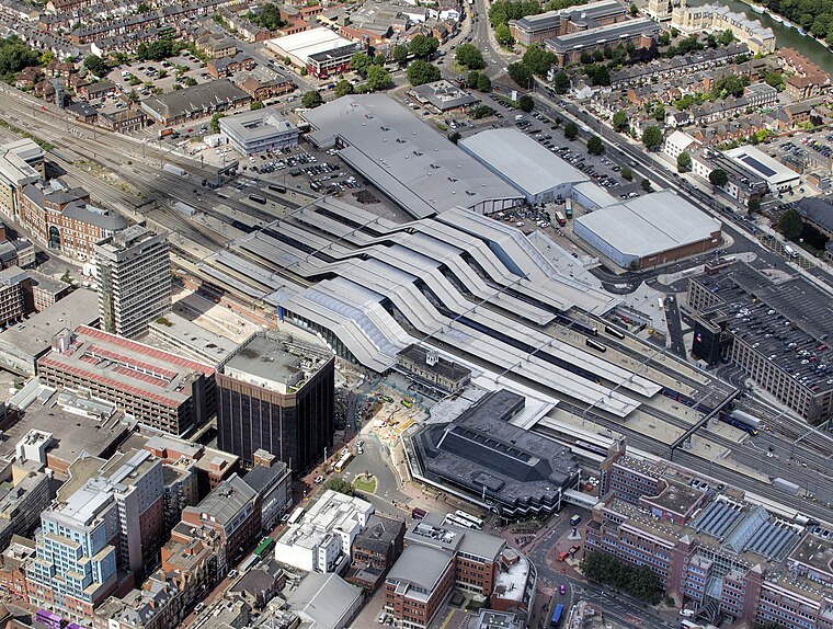
Photo: John Fielding, CC BY 2.0.
Reading railway station is a major transport hub in the town of Reading in Berkshire, England, it is 36 miles west of London Paddington. It is sited on the northern edge of the town centre, near to the main retail and commercial areas and the River Thames. Reading Railway Station is situated 1¼ miles east of Tariq Halal.
Places in the Area
Nearby places include Southcote and Coley Park.
Southcote
Suburb

Photo: Graham Horn, CC BY-SA 2.0.
Southcote is a suburban hamlet near the town Reading in the English county of Berkshire. Located to the south-west of Reading town centre, Southcote has a population of about 8,500.
Coley Park
Suburb

Photo: Graham Horn, CC BY-SA 2.0.
Coley Park is a Suburban village to the south of the town of Reading in the English county of Berkshire. It is largely built on the country estate of the same name, surrounding Coley House.
Coley
Suburb

Photo: Uli Harder, CC BY-SA 2.0.
Coley is an inner-town district near the centre of the town of Reading, in the English county of Berkshire. It is often referred to as Old Coley, to distinguish it from the adjacent, and much more recent, suburb of Coley Park.
Tariq Halal
- Type: Convenience store
- Wheelchair access: yes
- Categories: shop and food
- Location: Reading, England, United Kingdom, Britain and Ireland, Europe
- View on OpenStreetMap
Latitude
51.45733° or 51° 27′ 26″ northLongitude
-0.99899° or 0° 59′ 56″ westOpen location code
9C3XF242+WCOpenStreetMap ID
node 4934131006OpenStreetMap feature
shop=convenienceOpenStreetMap attribute
wheelchair=yes
This page is based on OpenStreetMap, Wikidata, and Wikimedia Commons.
We’d love your help improving our open data sources. Thank you for contributing.
Satellite Map
Discover Tariq Halal from above in high-definition satellite imagery.
Places with the Same Name
Discover other places named “Tariq Halal”.
Notable Places Nearby
Highlights include The Silvers Workshop and Body & Brain.
Nearby Places
Explore places such as La Mamaja and ATIF Superstore.
England: Must-Visit Destinations
Delve into London, Manchester, Sheffield, and Leeds.
Curious Convenience Stores to Discover
Uncover intriguing convenience stores from every corner of the globe.
About Mapcarta. Data © OpenStreetMap contributors and available under the Open Database License". Text is available under the CC BY-SA 4.0 license, except for photos, directions, and the map. Photo: Wikimedia, CC BY-SA 2.0.