Queens Road Harland Close
Queens Road Harland Close is a bus stop in Bradford, England. Queens Road Harland Close is situated nearby to Ramgarhia Gurdwara, as well as near the forest Brow Wood.| Tap on a place to explore it |
Places of Interest Nearby
Highlights include Valley Parade and Peel Park.
Valley Parade
Stadium

Photo: David Ingham, CC BY-SA 2.0.
Valley Parade, currently known as University of Bradford Stadium for sponsorship reasons, is an all-seater football stadium in Bradford, West Yorkshire, England. Valley Parade is situated 2,600 feet southwest of Queens Road Harland Close.
Peel Park
Park

Photo: Betty Longbottom, CC BY-SA 2.0.
Peel Park is a 22.6-hectare urban public park in the Bolton and Undercliffe area of Bradford, England, located about 0.75 miles north-east of the city centre, and named after Sir Robert Peel. Peel Park is situated 2,000 feet east of Queens Road Harland Close.
Bradford Forster Square Railway Station
Railway station

Photo: Captain Scarlet, CC BY 2.5.
Bradford Forster Square railway station serves Bradford, West Yorkshire, England. The majority of services to and from the station use Class 333 and Class 331 electric multiple units operated by Northern Trains; they run on the Airedale line to Skipton, the Wharfedale line to Ilkley and the Leeds-Bradford line to Leeds. Bradford Forster Square Railway Station is situated 1 mile south of Queens Road Harland Close.
Places in the Area
Nearby places include Manningham and Barkerend.
Manningham
Suburb
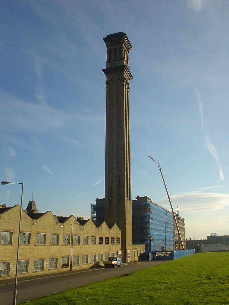
Photo: Shax, Public domain.
Manningham is a historically industrial workers area as well as a council ward of Bradford, West Yorkshire, England. The population of the 2011 Census for the Manningham Ward was 19,983.
Barkerend
Suburb

Photo: Betty Longbottom, CC BY-SA 2.0.
Barkerend is an inner-city area of Bradford, West Yorkshire, England, east of the city centre and surrounded by Undercliffe Cemetery, Bradford Moor, Laisterdyke, Bowling, Broomfields, Little Germany and Wapping, including an area of modern housing known as Pollard Park.
Lister Mills
Locality

Photo: Wikimedia, Public domain.
Lister Mills was the largest silk factory in the world. It is located in the Manningham district of Bradford, West Yorkshire, England and was built by Samuel Cunliffe Lister to replace the original Manningham Mills which had been destroyed by fire in 1871.
Queens Road Harland Close
- Type: Bus stop
- Category: transportation
- Location: Bradford, England, United Kingdom, Britain and Ireland, Europe
- View on OpenStreetMap
Latitude
53.8102° or 53° 48′ 37″ northLongitude
-1.75231° or 1° 45′ 8″ westOpen location code
9C5WR66X+33OpenStreetMap ID
node 496723791OpenStreetMap feature
highway=bus_stopOpenStreetMap feature
public_transport=platform
This page is based on OpenStreetMap, Wikidata, and Wikimedia Commons.
We’d love your help improving our open data sources. Thank you for contributing.
Satellite Map
Discover Queens Road Harland Close from above in high-definition satellite imagery.
Notable Places Nearby
Highlights include Ramgarhia Gurdwara and Brow Wood.
Nearby Places
Explore places such as Springwood Terrace and Kings Road Queens Road.
England: Must-Visit Destinations
Delve into London, Manchester, Sheffield, and Leeds.
Curious Bus Stops to Discover
Uncover intriguing bus stops from every corner of the globe.
About Mapcarta. Data © OpenStreetMap contributors and available under the Open Database License". Text is available under the CC BY-SA 4.0 license, except for photos, directions, and the map. Photo: Inkey, CC BY 2.0.