Shay Lane Holly Close
Shay Lane Holly Close is a bus stop in Crofton, Wakefield, England. Shay Lane Holly Close is situated nearby to the public building Clubhouse, as well as near Shay Lane Primary (J and I) School.| Tap on a place to explore it |
Places of Interest Nearby
Highlights include Crofton Academy and Crofton TMD.
Crofton Academy
School
Crofton Academy is an 11-16 state secondary school outside Wakefield in West Yorkshire, England. The school is also an academy. Crofton Academy is situated 2,300 feet southeast of Shay Lane Holly Close.
Crofton TMD
Crofton Depot is a traction maintenance depot located in Crofton, West Yorkshire, England. The depot is situated on the Wakefield Line and Pontefract Line at the eastern end of Crofton Junction and is located near the now demolished Crofton railway station. Crofton TMD is situated 2,600 feet northwest of Shay Lane Holly Close.Lord Of The Manor Public House
Pub

Photo: Steve Partridge, CC BY-SA 2.0.
Lord Of The Manor Public House is situated 1 mile southeast of Shay Lane Holly Close.
Places in the Area
Nearby places include Sharlston and Agbrigg.
Sharlston
Village
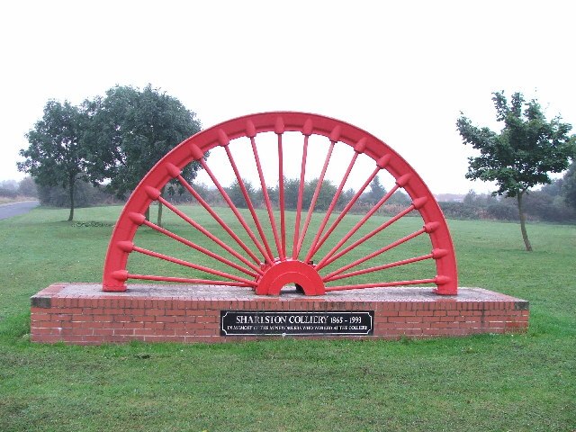
Photo: Steve Partridge, CC BY-SA 2.0.
Sharlston is a village and civil parish, situated 4 miles east of Wakefield in West Yorkshire, England, and includes the settlements of Old Sharlston, Sharlston Common and New Sharlston.
Agbrigg
Suburb

Photo: Dave Bevis, CC BY-SA 2.0.
Agbrigg is a suburb of the city of Wakefield, West Yorkshire, England.
Foulby
Village
Foulby is a village in the City of Wakefield district of West Yorkshire, England. It is situated near Nostell, between Crofton and Ackworth Moor Top, on the A638 east-south east of the city of Wakefield. Foulby is situated 1½ miles east of Shay Lane Holly Close.
Shay Lane Holly Close
- Type: Bus stop
- Category: transportation
- Location: Crofton, Wakefield, England, United Kingdom, Britain and Ireland, Europe
- View on OpenStreetMap
Latitude
53.6599° or 53° 39′ 36″ northLongitude
-1.44129° or 1° 26′ 29″ westOpen location code
9C5WMH55+XFOpenStreetMap ID
node 496728463OpenStreetMap feature
highway=bus_stopOpenStreetMap feature
public_transport=platform
This page is based on OpenStreetMap, Wikidata, and Wikimedia Commons.
We’d love your help improving our open data sources. Thank you for contributing.
Satellite Map
Discover Shay Lane Holly Close from above in high-definition satellite imagery.
Notable Places Nearby
Highlights include Clubhouse and Shay Lane Primary (J and I) School.
Nearby Places
Explore places such as Shay Lane Holly Crescent and Shay Lane Thorntree Avenue.
England: Must-Visit Destinations
Delve into London, Manchester, Sheffield, and Leeds.
Curious Bus Stops to Discover
Uncover intriguing bus stops from every corner of the globe.
About Mapcarta. Data © OpenStreetMap contributors and available under the Open Database License". Text is available under the CC BY-SA 4.0 license, except for photos, directions, and the map. Photo: sidibousaid, CC BY 2.0.