Galmpton Primary School
Galmpton Primary School is a bus stop in Kingswear, South Hams District, England. Galmpton Primary School is situated nearby to Galmpton Church of England Primary School, as well as near the church Chapel of the Good Shepherd.| Tap on a place to explore it |
Places of Interest Nearby
Highlights include Chapel of the Good Shepherd and Galmpton Church of England Primary School.
Chapel of the Good Shepherd
Church

Photo: Snidge, CC BY-SA 2.0.
Chapel of the Good Shepherd is a church.

Manor Inn
Pub

Photo: Snidge, CC BY-SA 2.0.
Manor Inn is a pub, which is situated 770 feet northeast of Galmpton Primary School.
Places in the Area
Nearby places include Galmpton and Churston Ferrers.
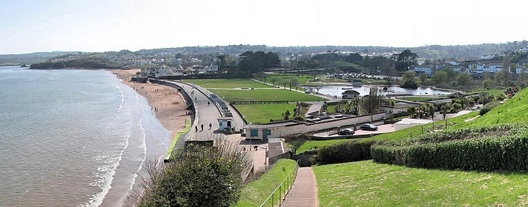
Galmpton
Village
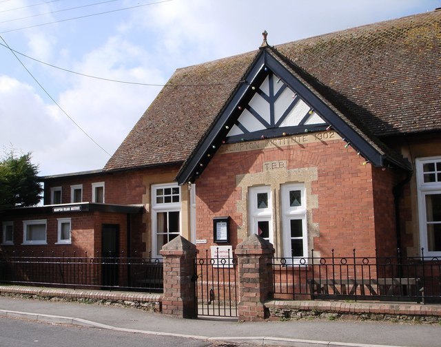
Photo: Tom Jolliffe, CC BY-SA 2.0.
Galmpton is a semi-rural village in Torbay, in the ceremonial county of Devon, England. It is located in the ward of Churston-with-Galmpton and the historic civil parish of Churston Ferrers, though some areas historically considered parts of Galmpton, such as Greenway and Galmpton Creek, are situated in the Devon borough of South Hams.
Churston Ferrers
Village

Photo: Derek Harper, CC BY-SA 2.0.
Churston Ferrers is an area and former civil parish, in the borough of Torbay, Devon, England, situated between the south coast towns of Paignton and Brixham.
Goodrington
Suburb
 Goodrington is an area of Paignton in Devon, England. It is situated in Tor Bay and lies between Paignton town centre and Brixham, less than 1 mile south of central Paignton. Its beach is known as Goodrington Sands. Goodrington is situated 2 miles north of Galmpton Primary School.
Galmpton Primary School
- Type: Bus stop
- Category: transportation
- Location: Kingswear, South Hams District, Devon, West Country, England, United Kingdom, Britain and Ireland, Europe
- View on OpenStreetMap
Latitude
50.3941° or 50° 23′ 39″ northLongitude
-3.56563° or 3° 33′ 56″ westOpen location code
9C2R9CVM+JPOpenStreetMap ID
node 496819369OpenStreetMap feature
highway=bus_stopOpenStreetMap feature
public_transport=platform
This page is based on OpenStreetMap, Wikidata, and Wikimedia Commons.
We’d love your help improving our open data sources. Thank you for contributing.
Satellite Map
Discover Galmpton Primary School from above in high-definition satellite imagery.
Notable Places Nearby
Highlights include Galmpton Post Office and Flavel Chapel.
Nearby Places
Explore places such as Greenway Park and Galmpton Triangle.
Devon: Must-Visit Destinations
Delve into Plymouth, Exeter, Torquay, and Barnstaple.
Curious Bus Stops to Discover
Uncover intriguing bus stops from every corner of the globe.
About Mapcarta. Data © OpenStreetMap contributors and available under the Open Database License". Text is available under the CC BY-SA 4.0 license, except for photos, directions, and the map. Photo: matthewhartley369, CC BY-SA 2.0.