Friterie du Postay
Friterie du Postay is a fast food restaurant in Pepinster, Arrondissement of Verviers, Wallonia. Friterie du Postay is situated nearby to the motorhome stopover Aire de Wegnez, as well as near the sports venue Hall du Paire.| Tap on a place to explore it |
Places of Interest Nearby
Highlights include Église Saint-Hubert and Pepinster railway station.
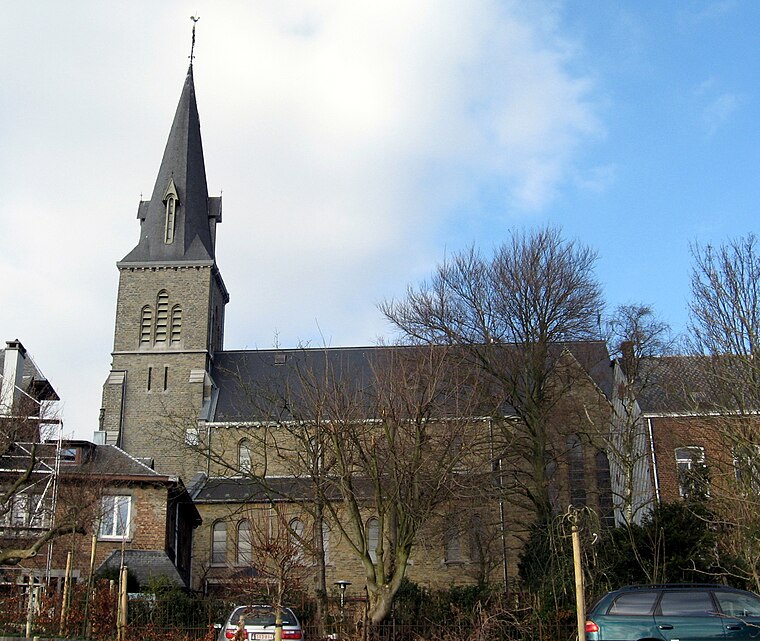
Église Saint-Hubert
Church

Photo: Sonuwe, CC BY-SA 3.0.
Église Saint-Hubert is a church, which is situated 430 metres southwest of Friterie du Postay.
Pepinster railway station
Railway station

Photo: Wikimedia, CC BY-SA 2.5.
Pepinster railway station is situated 2 km southwest of Friterie du Postay.
Église Notre-Dame de Lourdes
Church

Photo: Sonuwe, CC BY-SA 3.0.
Église Notre-Dame de Lourdes is a church, which is situated 1¼ km southeast of Friterie du Postay.
Places in the Area
Nearby places include Lambermont and Ensival.
Ensival
Village

Photo: Sonuwe, CC BY-SA 3.0.
Ensival is a town of Wallonia and a district of the municipality of Verviers, located in the province of Liège, Belgium. Before the merging of the Belgian municipalities in 1977, it was a municipality of its own.
Soiron
Village

Photo: Jean-Pol GRANDMONT, CC BY 2.5.
Soiron is a village of Wallonia and a district of the municipality of Pepinster, located in the province of Liège, Belgium. Soiron is a member of the Les Plus Beaux Villages de Wallonie association.
Friterie du Postay
- Type: Fast food restaurant
- Cuisine: friture
- Categories: food and restaurant
- Location: Pepinster, Arrondissement of Verviers, Liège, Wallonia, Belgium, Benelux, Europe
- View on OpenStreetMap
Latitude
50.58202° or 50° 34′ 55″ northLongitude
5.82036° or 5° 49′ 13″ eastOpen location code
9F27HRJC+R4OpenStreetMap ID
node 5012309562OpenStreetMap feature
amenity=fast_foodOpenStreetMap attribute
cuisine=friture
This page is based on OpenStreetMap, Wikidata, and Wikimedia Commons.
We’d love your help improving our open data sources. Thank you for contributing.
Satellite Map
Discover Friterie du Postay from above in high-definition satellite imagery.
Notable Places Nearby
Highlights include Aire de Wegnez and Hall du Paire.
Nearby Places
Explore places such as Wegnez Cité Mon Logis and Wegnez Postay.
Curious Fast Food Restaurants to Discover
Uncover intriguing fast food restaurants from every corner of the globe.
About Mapcarta. Data © OpenStreetMap contributors and available under the Open Database License". Text is available under the CC BY-SA 4.0 license, except for photos, directions, and the map. Photo: Gilles San Martin, CC BY-SA 3.0.