Norber
Norber is a locality in Austwick, Craven District, England. Norber is situated nearby to the locality Thwaite, as well as near Wash Dub Field.| Tap on a place to explore it |
Places of Interest
Highlights include Norber erratics and Ingleborough Cave.
Norber erratics

Photo: Gordon Hatton, CC BY-SA 2.0.
The Norber erratics are one of the finest groups of glacial erratic boulders in Britain. They are found on the southern slopes of Ingleborough, close to the village of Austwick in the Yorkshire Dales.
Ingleborough Cave
Cave

Photo: Peter Martin, CC BY-SA 2.0.
Ingleborough Cave is a show cave close to the village of Clapham in North Yorkshire, England, adjacent to where the water from Gaping Gill resurges. That part of the cave that is open to the public follows a fossil gallery for some 500 metres.
Church of the Epiphany
Church

Photo: James Bentall, CC BY-SA 2.0.
The Church of the Epiphany is the parish church of Austwick, a village in North Yorkshire, in England. The church was funded by Charles and E. A. Ingleby, and was constructed between 1839 and 1840.
Places in the Area
Nearby places include Wharfe and Clapham.
Wharfe
Hamlet
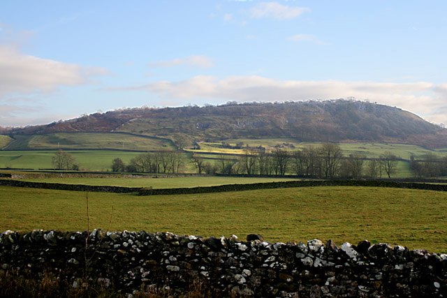
Photo: Kate Jewell, CC BY-SA 2.0.
Wharfe is a hamlet about a mile north east of the village of Austwick, North Yorkshire, England. Its postcode is LA2 8DQ. The name means 'The bend', The hamlet is the only settlement in Crummackdale, the upper valley of Austwick Beck.
Clapham

Photo: RobThinks, CC BY-SA 4.0.
Clapham is a village in the civil parish of Clapham cum Newby in North Yorkshire, England. It lies within the Yorkshire Dales National Park, 6 miles north-west of Settle, and just off the A65 road.
Feizor
Hamlet

Photo: jim walton, CC BY 3.0.
Feizor is a hamlet in the Yorkshire Dales National Park, England. Feizor is situated 2 miles southeast of Norber.
Norber
- Type: Locality
- Location: Austwick, Craven District, North Yorkshire, Yorkshire, England, United Kingdom, Britain and Ireland, Europe
- View on OpenStreetMap
Latitude
54.12547° or 54° 7′ 32″ northLongitude
-2.36366° or 2° 21′ 49″ westOpen location code
9C6V4JGP+5GOpenStreetMap ID
node 501748055OpenStreetMap feature
place=locality
This page is based on OpenStreetMap, Wikidata, and Wikimedia Commons.
We’d love your help improving our open data sources. Thank you for contributing.
Satellite Map
Discover Norber from above in high-definition satellite imagery.
Localities in the Area
Explore places such as Thwaite and Wash Dub Field.
Notable Places Nearby
Highlights include New Close Plantation and Long Tram Plantation.
North Yorkshire: Must-Visit Destinations
Delve into York, Middlesbrough, Harrogate, and Ripon.
Curious Localities to Discover
Uncover intriguing localities from every corner of the globe.
About Mapcarta. Data © OpenStreetMap contributors and available under the Open Database License". Text is available under the CC BY-SA 4.0 license, except for photos, directions, and the map. Photo: Michael Bryan, CC BY 2.0.