Brionne Way
Brionne Way is a bus stop in Innsworth, Tewkesbury, England. Brionne Way is situated nearby to Longlevens RFC, as well as near Longlevens Library.| Tap on a place to explore it |
Places of Interest Nearby
Highlights include Holy Trinity Church and Hillfield Gardens, Gloucester.
Holy Trinity Church
Church

Photo: Philafrenzy, CC BY-SA 4.0.
Holy Trinity Church is a Grade II listed Church of England parish church in Longlevens, Gloucester. It was designed by Harold Stratton Davis and built in 1933–1934 in a fifteenth-century perpendicular Gothic style. Holy Trinity Church is situated 3,000 feet south of Brionne Way.
Hillfield Gardens, Gloucester
Park

Photo: D Eaketts, CC BY-SA 4.0.
Hillfield Gardens is a public park on London Road, Gloucester, England. It houses several historical monuments. The description in December 2020 stated: "Now a Council-owned public park covering about 1.6 hectares, Highfield Gardens is supported by an active Friends group which organises annual events". Hillfield Gardens, Gloucester is situated 1¼ miles southwest of Brionne Way.
Sir Thomas Rich’s School
School
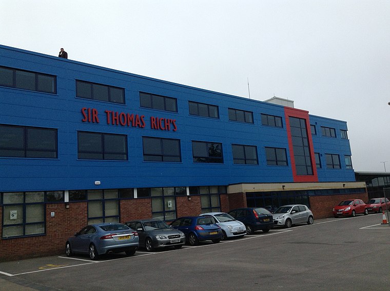
Photo: Mdann52, CC BY-SA 3.0.
Sir Thomas Rich's School is a grammar school with academy status for boys and girls in Longlevens, Gloucester, England, locally known as "Tommies". It is one of 7 grammar schools in Gloucestershire. Sir Thomas Rich’s School is situated 1 mile southeast of Brionne Way.
Places in the Area
Nearby places include Walham and Gloucester.
Walham
Hamlet
Walham is a hamlet in Longford parish, north of Gloucester, England. It lies on the banks of the River Severn and north of the A40 road. It is a suburb of Gloucester, which is to its south. Walham is situated 2 miles west of Brionne Way.
Gloucester

Photo: Traveler100, CC BY-SA 4.0.
Gloucester is the county town of Gloucestershire in England's West Country. A major attraction of the city is Gloucester Cathedral, which is the burial place of King Edward II.
Over
Suburb

Photo: Alby, CC BY-SA 2.0.
Over is a village in Gloucestershire, England, 2 mi west of Gloucester. It lies on the A40 road in the parish of Highnam, on the west bank of the River Severn. Over is situated 2½ miles west of Brionne Way.
Brionne Way
- Type: Bus stop
- Category: transportation
- Location: Innsworth, Tewkesbury, Gloucestershire, West Country, England, United Kingdom, Britain and Ireland, Europe
- View on OpenStreetMap
Latitude
51.88325° or 51° 52′ 60″ northLongitude
-2.21365° or 2° 12′ 49″ westOpen location code
9C3VVQMP+8GOpenStreetMap ID
node 502478594OpenStreetMap feature
highway=bus_stopOpenStreetMap feature
public_transport=platform
This page is based on OpenStreetMap, Wikidata, and Wikimedia Commons.
We’d love your help improving our open data sources. Thank you for contributing.
Satellite Map
Discover Brionne Way from above in high-definition satellite imagery.
Places with the Same Name
Discover other places named “Brionne Way”.
Notable Places Nearby
Highlights include Longlevens RFC and Longlevens Library.
Nearby Places
Explore places such as Brionne Way and Innsworth Allotments.
Gloucestershire: Must-Visit Destinations
Delve into Gloucester, Cheltenham, Cirencester, and Yate.
Curious Bus Stops to Discover
Uncover intriguing bus stops from every corner of the globe.
About Mapcarta. Data © OpenStreetMap contributors and available under the Open Database License". Text is available under the CC BY-SA 4.0 license, except for photos, directions, and the map. Photo: Matthew Hartley, CC BY-SA 2.0.