Rendcomb Turn
Rendcomb Turn is a bus stop in Rendcomb, Cotswold District, England. Rendcomb Turn is situated nearby to the forest Old Park, as well as near Church of St Peter.| Tap on a place to explore it |
Places of Interest Nearby
Highlights include Church of St Peter and Rendcomb College.
Church of St Peter
Church

Photo: Tigerboy1966, CC BY-SA 3.0.
The Anglican Church of St Peter within the grounds of Rendcomb College at Rendcomb in the Cotswold District of Gloucestershire, England, was rebuilt in the 16th century. It is a grade I listed building. Church of St Peter is situated 1,500 feet northeast of Rendcomb Turn.
Rendcomb College
School

Photo: Saffron Blaze, CC BY-SA 3.0.
Rendcomb College is a public school for pupils aged 3–18, located in the village of Rendcomb five miles north of Cirencester in Gloucestershire, England. Rendcomb College is situated 2,700 feet north of Rendcomb Turn.
Church of All Saints
Church

Photo: Saffron Blaze, CC BY-SA 3.0.
Church of All Saints is situated 1 mile south of Rendcomb Turn.
Places in the Area
Nearby places include Woodmancote and Duntisbourne Leer.
Woodmancote
Village
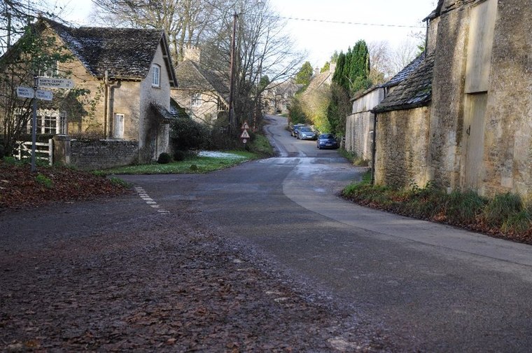
Photo: Philip Halling, CC BY-SA 2.0.
Woodmancote is a Cotswolds village near Cirencester, Gloucestershire, England. The village lies just off the A435. The village is 0.2 square miles in area.
Duntisbourne Leer
Village

Photo: Saffron Blaze, CC BY-SA 3.0.
Duntisbourne Leer is a hamlet in the county of Gloucestershire, and lies within the Cotswolds, a range of hills designated an Area of Outstanding Natural Beauty. Duntisbourne Leer is situated 2½ miles southwest of Rendcomb Turn.
Chedworth
 Chedworth is a village in the Cotswolds, seven miles north of Cirencester. It is most famous for its Roman Villa, cared for by the National Trust. Many of the buildings were built hundreds of years ago, and the local pub, the Seven Tuns is a pleasant place to retire after walking through the surrounding countryside.
Rendcomb Turn
- Type: Bus stop
- Category: transportation
- Location: Rendcomb, Cotswold District, Gloucestershire, West Country, England, United Kingdom, Britain and Ireland, Europe
- View on OpenStreetMap
Latitude
51.78404° or 51° 47′ 3″ northLongitude
-1.97934° or 1° 58′ 46″ westOpen location code
9C3WQ2MC+J7OpenStreetMap ID
node 502494421OpenStreetMap feature
highway=bus_stopOpenStreetMap feature
public_transport=platform
This page is based on OpenStreetMap, Wikidata, and Wikimedia Commons.
We’d love your help improving our open data sources. Thank you for contributing.
Satellite Map
Discover Rendcomb Turn from above in high-definition satellite imagery.
Notable Places Nearby
Highlights include Old Park and Rendcomb Post Office and Stores.
Nearby Places
Explore places such as Rendcomb Turn and Stable House.
Gloucestershire: Must-Visit Destinations
Delve into Gloucester, Cheltenham, Cirencester, and Yate.
Curious Bus Stops to Discover
Uncover intriguing bus stops from every corner of the globe.
About Mapcarta. Data © OpenStreetMap contributors and available under the Open Database License". Text is available under the CC BY-SA 4.0 license, except for photos, directions, and the map. Photo: Matthew Hartley, CC BY-SA 2.0.