Stag Road
Stag Road is a bus stop in Southborough, Tunbridge Wells District, England. Stag Road is situated nearby to the sports venue GCK Gymnastics For All, as well as near the forest Lamberts Wood.| Tap on a place to explore it |
Places of Interest Nearby
Highlights include Odeon Tunbridge Wells and High Brooms railway station.
Odeon Tunbridge Wells
Movie theater

Photo: N Chadwick, CC BY-SA 2.0.
Odeon Tunbridge Wells is a movie theater, which is situated 2,300 feet east of Stag Road.
High Brooms railway station
Railway station

Photo: Hassocks5489, Public domain.
High Brooms railway station is on the Hastings line in the south of England and serves High Brooms and Southborough in the borough of Tunbridge Wells, Kent. High Brooms railway station is situated 2,600 feet southwest of Stag Road.
Colebrook Viaduct
Bridge

Photo: Nigel Chadwick, CC BY-SA 2.0.
Colebrook Viaduct is a bridge, which is situated 3,600 feet northwest of Stag Road.
Places in the Area
Nearby places include Royal Tunbridge Wells and Pembury.
Royal Tunbridge Wells

Photo: Editor5807, CC BY-SA 3.0.
Royal Tunbridge Wells is a town in west Kent on the border with East Sussex, in the South East of England.
Pembury
Village
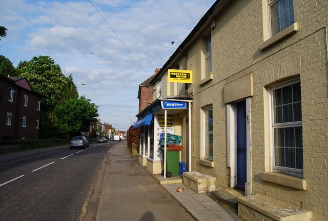
Photo: Nigel Chadwick, CC BY-SA 2.0.
Pembury is a large village in Kent, in the south east of England, with a population of 6,128 at the 2011 census. It lies just to the north-east of Royal Tunbridge Wells. Pembury is situated 2 miles southeast of Stag Road.
Hawkenbury
Suburb

Photo: Nigel Chadwick, CC BY-SA 2.0.
Hawkenbury is a small village area located in the south east of Royal Tunbridge Wells, Kent, England. Hawkenbury is situated 2 miles south of Stag Road.
Stag Road
- Type: Bus stop
- Category: transportation
- Location: Southborough, Tunbridge Wells District, Kent, South East England, England, United Kingdom, Britain and Ireland, Europe
- View on OpenStreetMap
Latitude
51.15402° or 51° 9′ 15″ northLongitude
0.28705° or 0° 17′ 13″ eastOpen location code
9F32573P+JROpenStreetMap ID
node 502555743OpenStreetMap feature
highway=bus_stopOpenStreetMap feature
public_transport=platform
This page is based on OpenStreetMap, Wikidata, and Wikimedia Commons.
We’d love your help improving our open data sources. Thank you for contributing.
Satellite Map
Discover Stag Road from above in high-definition satellite imagery.
Places with the Same Name
Discover other places named “Stag Road”.
Notable Places Nearby
Highlights include GCK Gymnastics For All and Lamberts Wood.
Nearby Places
Explore places such as Drakes and Howdens.
Kent: Must-Visit Destinations
Delve into Canterbury, Dover, Maidstone, and Rochester.
Curious Bus Stops to Discover
Uncover intriguing bus stops from every corner of the globe.
About Mapcarta. Data © OpenStreetMap contributors and available under the Open Database License". Text is available under the CC BY-SA 4.0 license, except for photos, directions, and the map. Photo: Diliff, CC BY-SA 3.0.