Brasserie du Quai
Brasserie du Quai is a restaurant in Namur, Namur, Wallonia which is located on Rue du Quai. Brasserie du Quai is situated nearby to the bridge Pont du Luxembourg, as well as near the park Square Ernest Montellier.| Tap on a place to explore it |
- Opening hours: noon—2:30 PM and 6:00 PM—9:30 PM
- Type: Restaurant
- Cuisine: French and seafood
- Address: Rue du Quai 9, Namur, 5000
- Wheelchair access: yes
Places of Interest Nearby
Highlights include Pont du Luxembourg and African museum of Namur.
African museum of Namur
Museum

Photo: Ji-Elle, CC BY-SA 4.0.
African museum of Namur is situated 600 metres west of Brasserie du Quai.
Church of our Lady of Harscamp
Community center

Photo: Grentidez, Public domain.
Church of our Lady of Harscamp is a community center, which is situated 630 metres west of Brasserie du Quai.
Places in the Area
Nearby places include Grognon and Jambes.

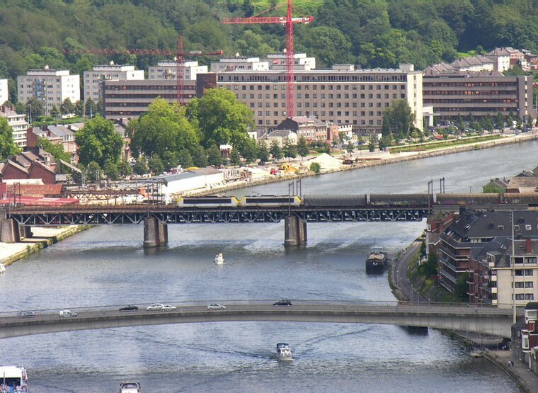
Jambes
Town

Photo: Jean-Pol GRANDMONT, CC BY 3.0.
Jambes is a sub-municipality of the city of Namur located in the province of Namur, Wallonia, Belgium. It was a separate municipality until 1977. On 1 January 1977, it was merged into Namur.
Bouge
Village
Bouge is a sub-municipality of the city of Namur located in the province of Namur, Wallonia, Belgium. It was a separate municipality until 1977. On 1 January 1977, it was merged into Namur.
Brasserie du Quai
- Category: food
- Location: Namur, Arrondissement of Namur, Namur, Wallonia, Belgium, Benelux, Europe
- View on OpenStreetMap
Latitude
50.46559° or 50° 27′ 56″ northLongitude
4.87979° or 4° 52′ 47″ eastOpen location code
9F26FV8H+6WOpenStreetMap ID
node 5025815627OpenStreetMap feature
amenity=restaurantOpenStreetMap attribute
cuisine=frenchOpenStreetMap attribute
cuisine=seafoodOpenStreetMap attribute
wheelchair=yes
This page is based on OpenStreetMap, Wikidata, and Wikimedia Commons.
We’d love your help improving our open data sources. Thank you for contributing.
Satellite Map
Discover Brasserie du Quai from above in high-definition satellite imagery.
Notable Places Nearby
Highlights include Pont du Luxembourg and Square Ernest Montellier.
Nearby Places
Explore places such as Garage Havelange Olivier and Namur Rue de Balart.
Curious Restaurants to Discover
Uncover intriguing restaurants from every corner of the globe.
About Mapcarta. Data © OpenStreetMap contributors and available under the Open Database License". Text is available under the CC BY-SA 4.0 license, except for photos, directions, and the map. Photo: Guywets, CC BY-SA 3.0.