لاجیم
لاجیم is a campsite in Mazandaran, Iran. لاجیم is situated nearby to the peak نفته, as well as near اِلوات کوه.| Tap on a place to explore it |
Places in the Area
Nearby places include Lamzer and Shur Mast.
Lamzer
Hamlet
Lamzer is a village in Rastupey Rural District, in the Central District of Savadkuh County, Mazandaran Province, Iran. At the 2016 census, its population was 73, in 28 families, down from 84 people in 2006. Lamzer is situated 3½ km south of لاجیم.
Shur Mast
Village
Shur Mast is a village in Rastupey Rural District, in the Central District of Savadkuh County, Mazandaran Province, Iran. At the 2016 census, its population was 270, in 111 families, up from 187 people in 2006. Shur Mast is situated 4 km southwest of لاجیم.
Pol-e Sefid
Town
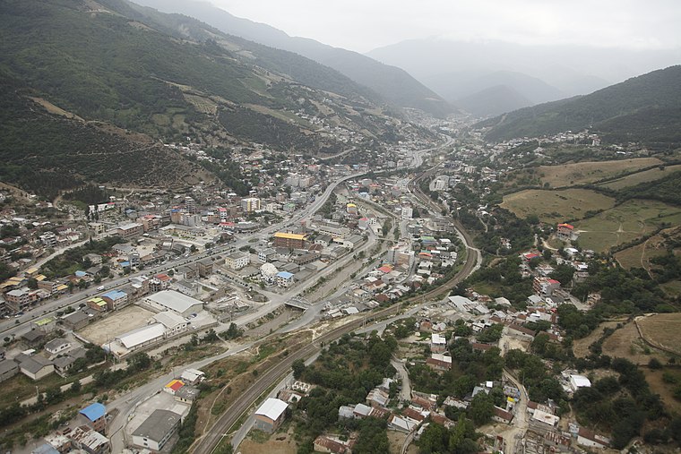
Photo: Nasim96, CC BY-SA 4.0.
Pol-e Sefid is a city in the Central District of Savadkuh County, Mazandaran province, Iran, serving as capital of both the county and the district. Pol-e Sefid is situated 4 km west of لاجیم.
لاجیم
- Type: Campsite
- Categories: tourism and camping
- Location: Mazandaran, Iran, Middle East, Asia
- View on OpenStreetMap
Latitude
36.11035° or 36° 6′ 37″ northLongitude
53.10195° or 53° 6′ 7″ eastOpen location code
8H8M4462+4QOpenStreetMap ID
node 5037402421OpenStreetMap feature
tourism=camp_site
This page is based on OpenStreetMap, Wikidata, and Wikimedia Commons.
We’d love your help improving our open data sources. Thank you for contributing.
Satellite Map
Discover لاجیم from above in high-definition satellite imagery.
Places with the Same Name
Discover other places named “لاجیم”.
Notable Places Nearby
Highlights include نفته and اِلوات کوه.
Nearby Places
Explore places such as پمپ بنزین پل سفید and دبستان شهید سهراب نوری.
Iran: Must-Visit Destinations
Delve into Tehran, Isfahan, Tabriz, and Sistan and Baluchestan.
Curious Campsites to Discover
Uncover intriguing campsites from every corner of the globe.
About Mapcarta. Data © OpenStreetMap contributors and available under the Open Database License". Text is available under the CC BY-SA 4.0 license, except for photos, directions, and the map. Photo: Wikimedia, CC BY-SA 3.0.