Cellagú
Cellagú is a hamlet in Oviedo, Asturias and has about 81 residents. Cellagú is situated nearby to the locality Los Pandos, as well as near San Vicente.| Tap on a place to explore it |
Places of Interest
Highlights include Cave of Las Caldas and El Caleyo train station.
Cave of Las Caldas
Cave

Photo: Xuliu Pombar, CC BY-SA 4.0.
Las Caldas Cave and the surrounding partial nature reserve is a protected area covering 45 hectares within the Nalón Valley in the Municipality of Oviedo in the vicinity of the towns of La Piñera and Las Caldas.
El Caleyo train station
Railway station

Photo: Rodelar, CC BY-SA 4.0.
El Caleyo train station is a railway station.

Places in the Area
Nearby places include Soto Ribera and Caces.
Soto Ribera
Village

Photo: Carmenmoran, CC BY 4.0.
Soto Ribera is a village, which is situated 3 km southeast of Cellagú.

Argame
Hamlet
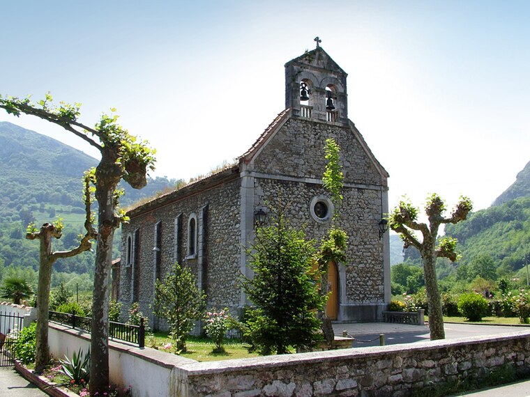
Photo: Urbano Suarez, CC BY-SA 2.5.
Argame is one of seven parishes in Morcín, a municipality within the province and autonomous community of Asturias, in northern Spain. Argame is situated 3½ km south of Cellagú.
Cellagú
- Type: Hamlet with 81 residents
- Description: human settlement in Latores, Oviedo, Asturias, Spain
- Categories: lugar, single entity of population, and locality
- Location: Oviedo, Asturias, Green Spain, Spain, Iberia, Europe
- View on OpenStreetMap
Latitude
43.33101° or 43° 19′ 52″ northLongitude
-5.89432° or 5° 53′ 40″ westPopulation
81Open location code
8CMP84J4+C7OpenStreetMap ID
node 5079424534OpenStreetMap feature
place=hamletWikidata ID
Q49127119
This page is based on OpenStreetMap, Wikidata, and Wikimedia Commons.
We’d love your help improving our open data sources. Thank you for contributing.
Satellite Map
Discover Cellagú from above in high-definition satellite imagery.
In Other Languages
From Asturian to Spanish—“Cellagú” goes by many names.
Localities in the Area
Explore places such as Los Pandos and San Vicente.
Notable Places Nearby
Highlights include Cantera Latores and Iglesia de Santo Tomás Apóstol de Latores.
Asturias: Must-Visit Destinations
Delve into Gijón, Aviles, Villaviciosa, and Grado.
Curious Hamlets to Discover
Uncover intriguing hamlets from every corner of the globe.
About Mapcarta. Data © OpenStreetMap contributors and available under the Open Database License". Text is available under the CC BY-SA 4.0 license, except for photos, directions, and the map. Photo: Wikimedia, CC0.