Bumkins Designer Kids
Bumkins Designer Kids is a clothing store in Trafford, England which is located on Moss Lane. Bumkins Designer Kids is situated nearby to Cardwell Theatre School, as well as near the ice rink Planet Ice.| Tap on a place to explore it |
Places of Interest Nearby
Highlights include Altrincham Interchange and Altrincham Hospital.
Altrincham Interchange
Railway station

Photo: Dr Neil Clifton, CC BY-SA 2.0.
Altrincham Interchange is a transport hub in Altrincham, Greater Manchester, England, owned and managed by the Bee Network. It consists of a bus station on Stamford New Road, a Northern Trains-operated heavy rail station on the Mid-Cheshire Line, and a light rail stop which forms the terminus of Manchester Metrolink's Altrincham line. Altrincham Interchange is situated 430 feet northeast of Bumkins Designer Kids.
Altrincham Hospital
Hospital
Altrincham Hospital is a modern community hospital on Railway Street in Altrincham, Greater Manchester, England. It is managed by the Manchester University NHS Foundation Trust. Altrincham Hospital is situated 940 feet southwest of Bumkins Designer Kids.
St George’s Church, Altrincham
Church

Photo: Dave Smethurst, CC BY-SA 2.0.
St George's Church is in the town of Altrincham, Greater Manchester, England. The church is recorded in the National Heritage List for England as a designated Grade II listed building. St George’s Church, Altrincham is situated 1,400 feet northwest of Bumkins Designer Kids.
Places in the Area
Nearby places include Altrincham and Hale.
Altrincham

Photo: rich-image, CC BY-SA 2.0.
Altrincham is a town in Greater Manchester in the northwest of England. It was a small market town until the 18th century, then industrialised with the coming of the Bridgewater Canal and later the railway.
Hale
Suburb
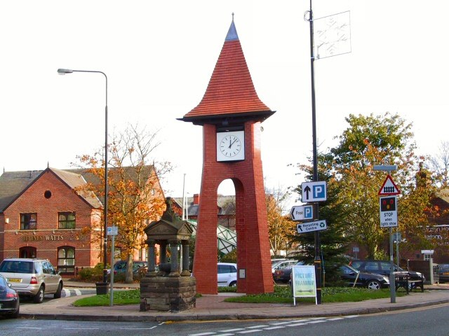
Photo: Roger May, CC BY-SA 2.0.
Altrincham is a town in Greater Manchester in the northwest of England. It was a small market town until the 18th century, then industrialised with the coming of the Bridgewater Canal and later the railway.
Baguley
Suburb
 Baguley is an area and electoral ward of the city of Manchester, in Greater Manchester, England. The population at the 2011 census was 14,794. The name Baguley is derived from the Old English words bagga and lēah. Baguley is situated 2 miles northeast of Bumkins Designer Kids.
Bumkins Designer Kids
- Type: Clothing store
- Address: Moss Lane, Altrincham
- Category: shop
- Location: Trafford, England, United Kingdom, Britain and Ireland, Europe
- View on OpenStreetMap
Latitude
53.38674° or 53° 23′ 12″ northLongitude
-2.34836° or 2° 20′ 54″ westOpen location code
9C5V9MP2+MMOpenStreetMap ID
node 5092133867OpenStreetMap feature
shop=clothes
This page is based on OpenStreetMap, Wikidata, and Wikimedia Commons.
We’d love your help improving our open data sources. Thank you for contributing.
Satellite Map
Discover Bumkins Designer Kids from above in high-definition satellite imagery.
Notable Places Nearby
Highlights include Cardwell Theatre School and Planet Ice.
Nearby Places
Explore places such as Libby G Cakes and Close Male Grooming.
England: Must-Visit Destinations
Delve into London, Manchester, Sheffield, and Leeds.
Curious Clothing Stores to Discover
Uncover intriguing clothing stores from every corner of the globe.
About Mapcarta. Data © OpenStreetMap contributors and available under the Open Database License". Text is available under the CC BY-SA 4.0 license, except for photos, directions, and the map. Photo: sidibousaid, CC BY 2.0.